


• 5,105+/- Acres Offered in 23 Tracts • Irrigated - 11 Pivots • Dryland • Pasture • Hunting & Recreation • In the Schrader Method you can bid on any tract combinations of tracts or the entire property!

PRIME FARMLAND & PASTURE AUCTION - 5,105+/- ACRES OFFERED IN 23 TRACTS IN WEBSTER & FRANKLIN COUNTIES IN NEBRASKA AND JEWELL COUNTY IN KANSAS
Webster & Franklin County, Nebraska - Jewell County, Kansas
Owner: Lewis Trust Fri, Jan 29, 2016 EASTERNAUCTION IS OVER
TOTAL SOLD: $17,155,000
| Tract(s): 1+2+4-6 | @ $4,790,000 | ($6,047/acre) |
| Tract(s): 3 | @ $930,000 | ($5,812/acre) |
| Tract(s): 7 | @ $875,000 | ($5,468/acre) |
| Tract(s): 8+21 | @ $1,295,000 | ($1,834/acre) |
| Tract(s): 9 | @ $2,760,000 | ($5,750/acre) |
| Tract(s): 10 | @ $1,300,000 | ($4,166/acre) |
| Tract(s): 11 | @ $1,245,000 | ($1,966/acre) |
| Tract(s): 12-17 | @ $1,680,000 | ($2,056/acre) |
| Tract(s): 18 | @ $50,000 | ($2,500/acre) |
| Tract(s): 19 | @ $340,000 | ($2,207/acre) |
| Tract(s): 20 | @ $480,000 | ($3,116/acre) |
| Tract(s): 22 | @ $210,000 | ($2,727/acre) |
| Tract(s): 23 | @ $1,200,000 | ($1,875/acre) |

OPEN HOUSE/INSPECTION DATES
January 5 from 10:00am - 12:00pm
January 19 from 10:00am - 12:00pm
January 28 from 3:00pm - 5:00pm
Meet a Schrader Representative at the Red Cloud Community Center for additional Auction information.
PROPERTY LOCATION
Tracts 1 & 2: From Red Cloud drive North on HWY 281 4.5 miles to Rd M, then drive West 2 miles to Rd 1000, then drive North .5 miles to Rd MN, then drive West 1 mile to Rd 900, then drive North .5 miles to the SW corner of Tract 2.
Tract 3: From Red Cloud drive North on HWY 281 5.5 miles to Rd N, then drive West 2 miles to Rd 1000, then drive North .5 miles to the SW corner of Tract 3.
Tract 4: From Red Cloud drive West on HWY 136 3.5 miles to Rd 700, then drive North 3.5 miles to the SE corner of Tract 4.
Tracts 5 & 6: From Red Cloud drive North on HWY 281 4.5 miles to Rd M, then drive West 2 miles to Rd 1000, then drive North .5 miles to Rd MN, then drive West 1 mile to Rd 900, then drive South .5 miles to the NW corner of Tract 5.
Tract 7: From Red Cloud drive North on HWY 281 3 miles to the SW corner of Tract 7.
Tracts 8 & 9: From Red Cloud drive East on HWY 136 1.75 miles to Rd 1400, then drive North 2 miles to the SW corner of Tract 8.
Tract 10: From Red Cloud drive West on HWY 136 1 mile to the NE corner of Tract 10.
Tract 11: From Riverton drive East on HWY 136 .5 miles to Rd 43, then drive South 3 miles to the NW corner of Tract 11.
Tracts 12, 13, 14, 15, 16 & 17: From Inavale drive South on Rd 500 3 miles to Rd D, then drive West .5 miles to the SE corner of Tract 17.
Tract 18: From Inavale drive South on Rd 500 2 miles to Rd E, then drive East 2 miles to Rd 700, then drive south .5 miles to the NW corner of Tract 18.
Tracts 19 & 20: From Red Cloud drive South on HWY 281 7 miles, crossing the Nebraska/Kansas State Line to Rd 30, then drive East 2 miles to the SW corner of Tract 19.
Tracts 21 & 22: From Red Cloud drive South on HWY 281 6 miles, crossing the Nebraska/Kansas State Line to Rd 20, then drive East 2.5 miles to the SW corner of Tract 21.
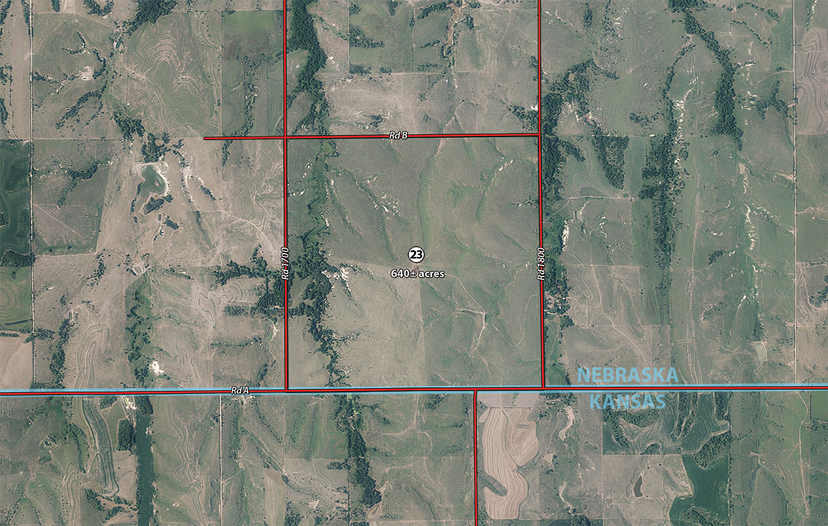
Tract 23: From Red Cloud drive South on HWY 281 3 miles, crossing the Nebraska/Kansas State Line to Rd C, then drive East 5 miles to Rd 1700, then drive South 1 mile to the NW corner of Tract 23.
AUCTION LOCATION
Red Cloud Community Center, 142 West Third Avenue, Red Cloud, Nebraska
From the intersection of Hwy 136 and Hwy 281 downtown Red Cloud, travel one block west (Cedar St) and one block south (3rd Ave).
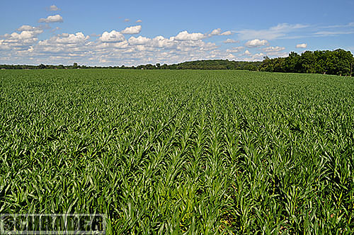
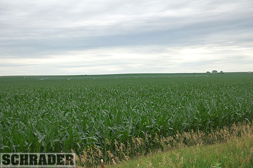
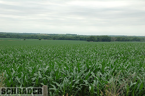
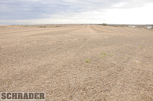
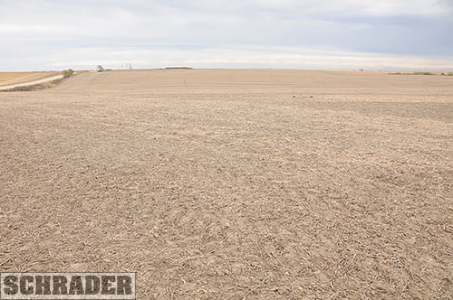
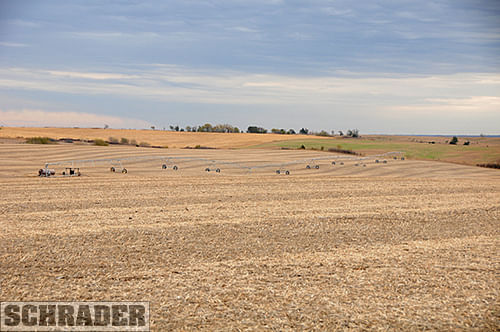
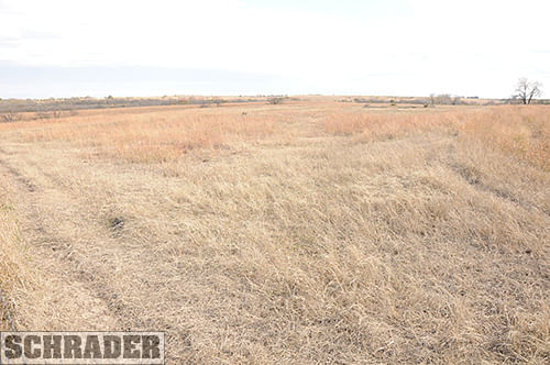
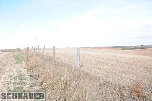
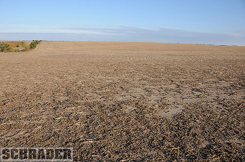
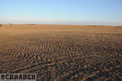
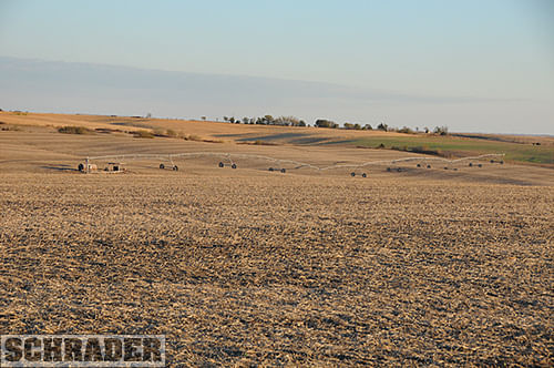
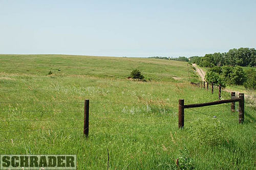
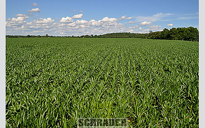
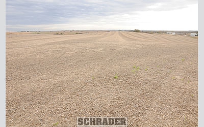
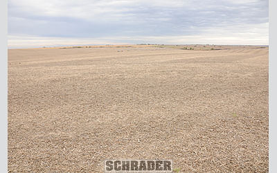
TRACT DESCRIPTIONS
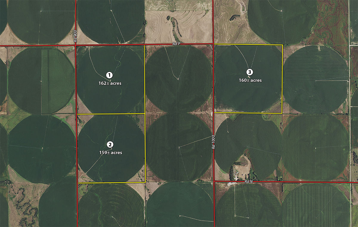
Tract 1:
162± ac
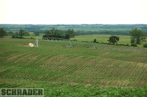
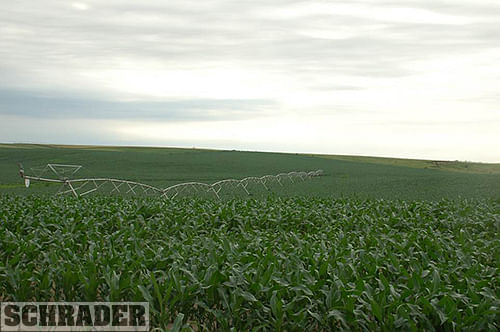
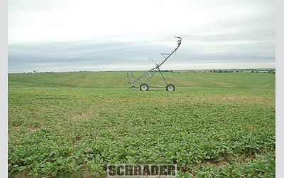
with 131+/- Ac. Irrigated by a 2002 10 Tower Reinke Model 4G-LEPA Center Pivot, Cummins Power Unit and Amarillo Gear Head with 21.22+/- Ac. of Dryland. Predominate Soils are Holdrege, Hobbs and Geary with 3 to 11% slopes. Tracts 1 and 2 Would Make a Nice Combination for a 1/2 Section.
Tract 2:
159± ac
with 133.5+/- Ac. Irrigated by a 2002 10 Tower Reinke Model 4G-LEPA Center Pivot, Cummins Power Unit and Amarillo Gear Head with 1.22+/- Ac. of Dryland. Predominate Soils are Holdrege, Hobbs and Coly-Hobbs with 3 to 30% slopes. Tracts 1 and 2 Would Make a Nice Combination for a 1/2 Section.
Tract 3:
160± ac
with 130+/- Ac. Irrigated by a 1997 10 Tower Reinke Alumigator Model ALUM-4 Center Pivot, Cummins Power Unit and Amarillo Gear Head with 23.56+/- Ac. of Dryland. Predominate Soils are Geary, Hobbs and Holdrege with 3 to 11% slopes.
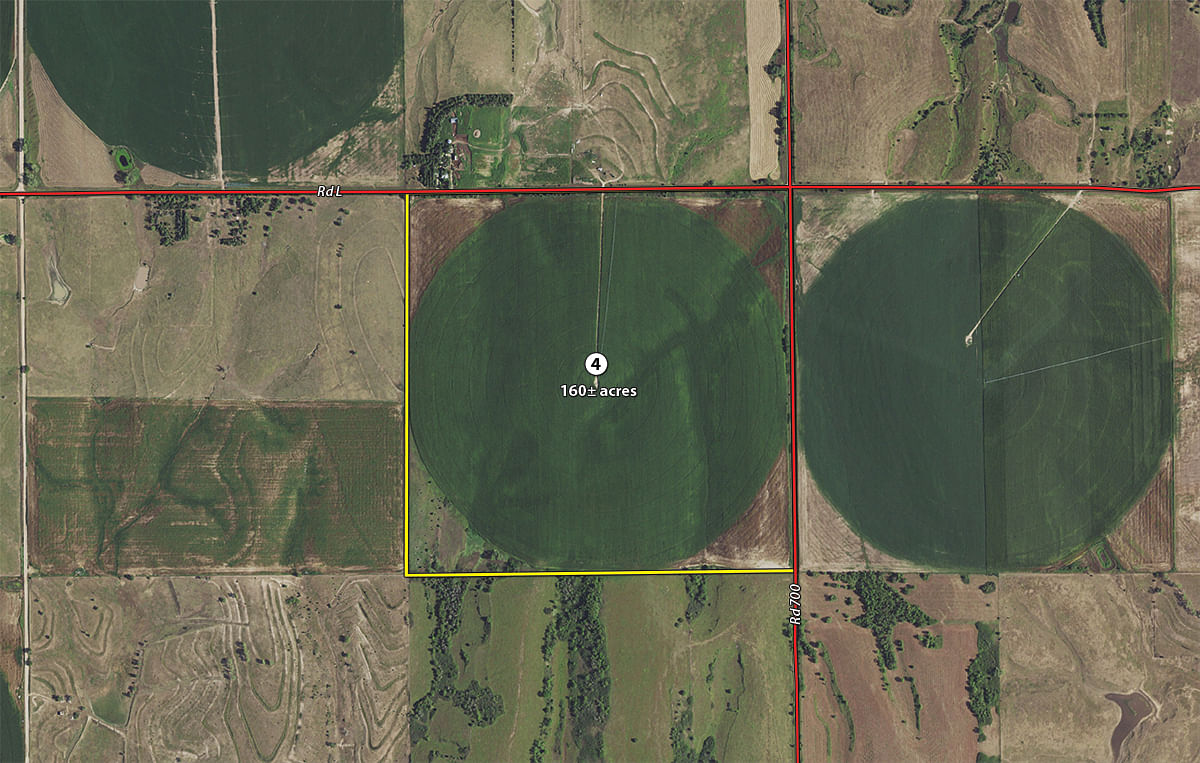
Tract 4:
160± ac
with 125.4+/- Ac. Irrigated by a 2002 10 Tower Reinke Alumigator Model 65-G Center Pivot, Cummins Power Unit and Randolph Gear Head with 22.3+/- Ac. of Dryland. Predominate Soils are Coly-Hobbs and Holdrege with 3 to 30% slopes.
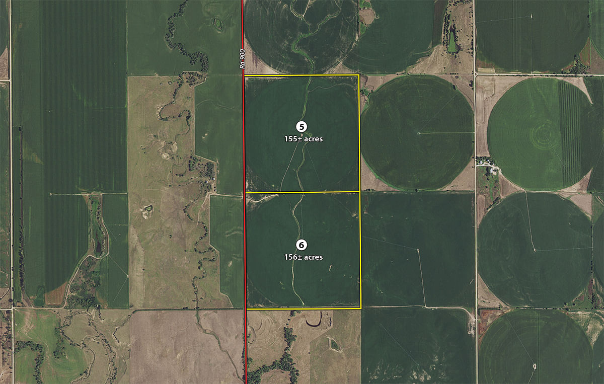
Tract 5:
155± ac
with 129.3+/- Ac. Irrigated by a 1996 10 Tower Reinke Alumigator Model ALUM-4 Center Pivot, Cummins Power Unit and Amarillo Gear Head with 29.29+/- Ac. of Dryland. Predominate Soils are Holdrege, Hobbs and Geary with 3 to 7% slopes. Tracts 5 and 6 Would Make a Nice Combination for a 1/2 Section.
Tract 6:
156± ac
with 128.9+/- Ac. Irrigated by a 1996 10 Tower Reinke Alumigator Model ALUM-4 Center Pivot, Cummins Power Unit and Amarillo Gear Head with 26.35+/- Ac. of Dryland. Predominate Soils are Hobbs, Geary and Meadin with 3 to 30% slopes. Tracts 5 and 6 Would Make a Nice Combination for a 1/2 Section.
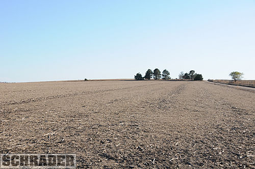
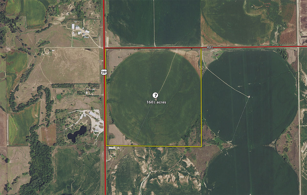
Tract 7:
160± ac
with 122+/- Ac. Irrigated by a 2003 10 Tower Reinke Model 65G Center Pivot, Cummins Power Unit and Randolph Gear Head with 8.3+/- Ac. of Dryland. Predominate Soils are Holdrege, Geary-Hobbs and Meadin with 3 to 30% slopes.
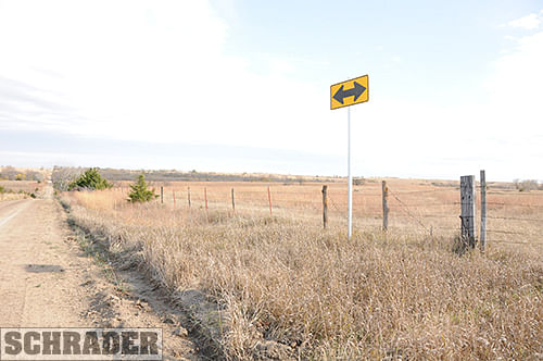
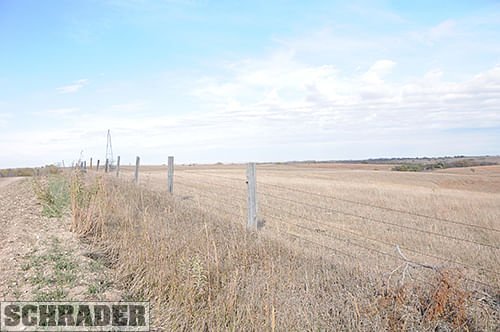
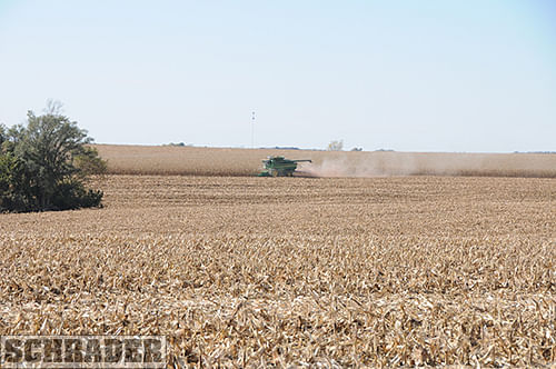
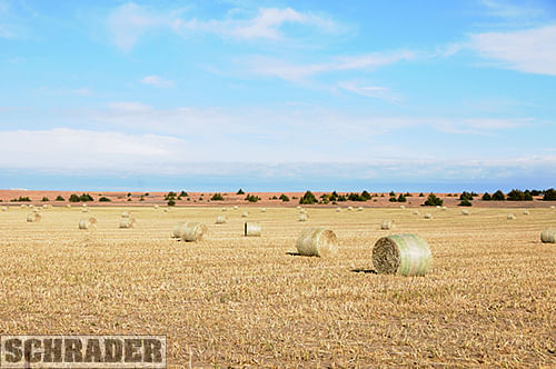
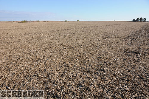
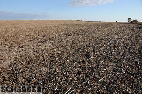
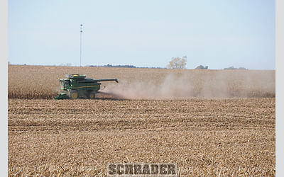
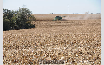
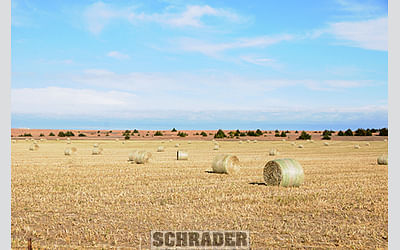
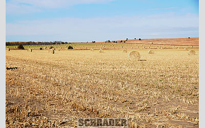
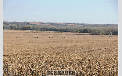
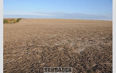
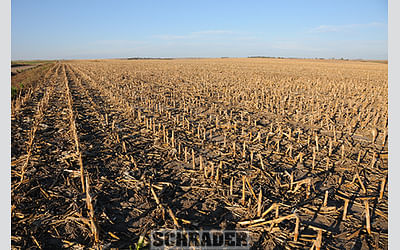
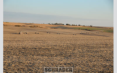
Tract 8:
140± ac
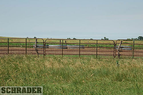
with 61.36+/- Ac. of Dryland and 25+/- Ac. of Hayland. Predominate Soils are Hobbs and Meadin with 3 to 30% slopes. This is an Excellent Recreation/Hunting Tract.
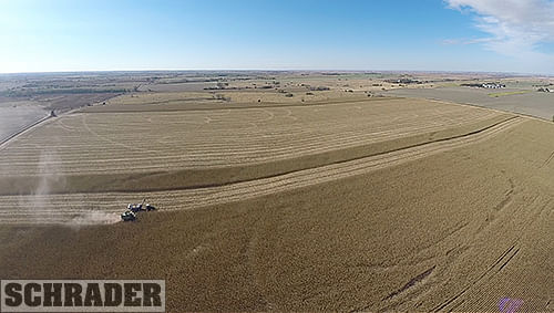
Tract 9:
480± ac
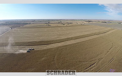
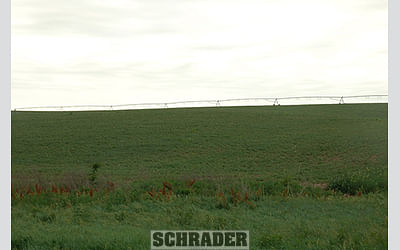
with 388.1+/- Ac. Irrigated by 3 Reinke Center Pivots. All of the Center Pivots are 2065 Models, one is a 2008 10 Tower, one a 2011 10 Tower and one a 2013 9 Tower. All the Irrigation Wells have Cummins Power Units. Two of the Irrigation Wells have Amarillo Gear Heads and One has a Randolph. There are 24.4+/- Ac. of Dryland. Predominate Soils are Hobbs and Meadin with 3 to 30% slopes.
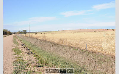
Tract 10: 312± ac with 169.03+- Ac. Irrigated by a 2012 8 Tower with a Corner System Reinke Model 2065 SSAC Center Pivot, Cummins Power Unit and Berkeley Pump with 142.97+- Ac. of Dryland. Tract 10 Irrigation Water is supplied by the Bostwick Irrigation District. This Tract has a Total of 267.3+- Ac. of Water Rights. Predominate Soils are Hord and Holdrege with 3 to 7% slopes.
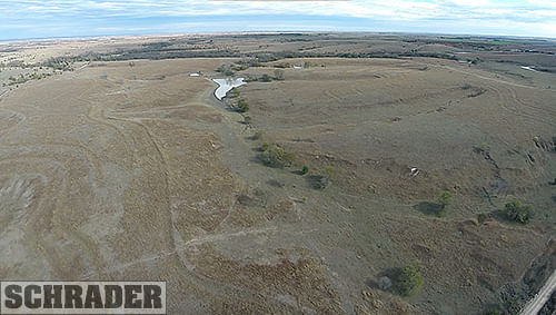
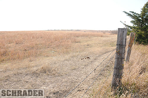
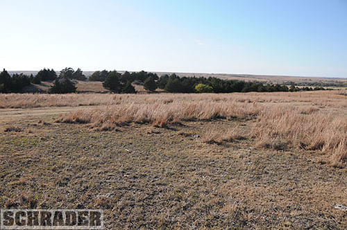
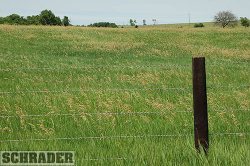
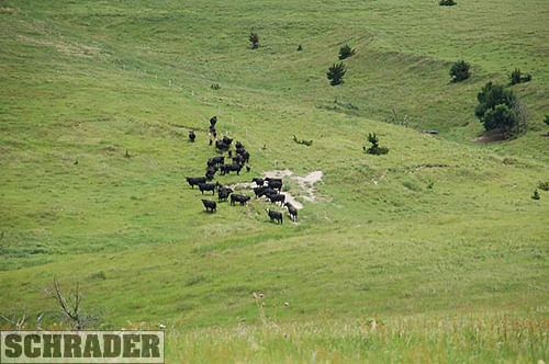
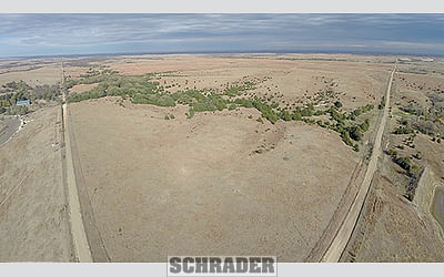
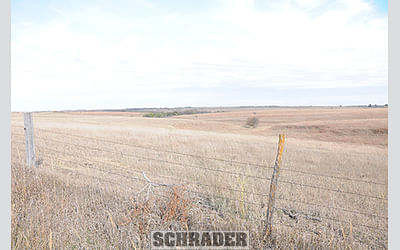
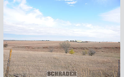
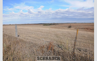
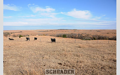
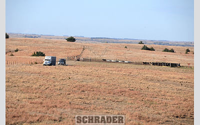
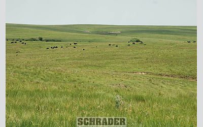
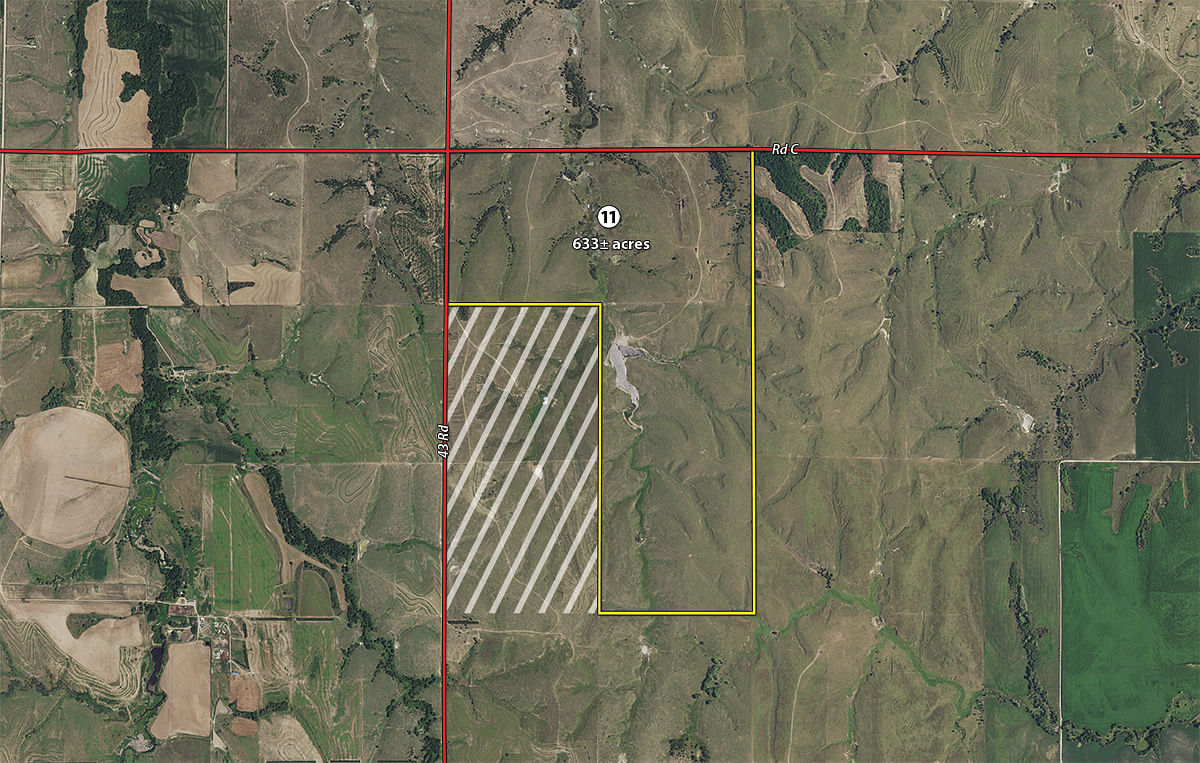
Tract 11:
633± ac
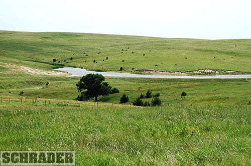
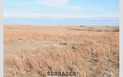
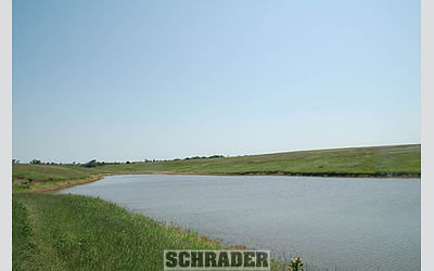
with 632.15+/- Ac. of Pasture. This Tract has 4 Tank Sites that are Supplied by LRNRD Rural Water and a large pond. There is a Catch Pen and Loadout on this Tract. Predominate Soils are Nuckolls-Hobbs and Holdrege with 3 to 30% slopes.
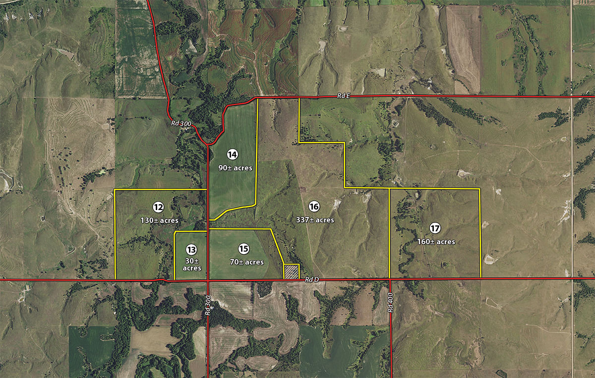
Tract 12:
130± ac
with 126.09+/- Ac. of Pasture. This Tract has 1 Tank Site that is Supplied by LRNRD Rural Water. Predominate Soils are Hobbs Coly-Uly-Hobbs and Holdrege with 3 to 60% slopes. This is an Excellent Recreation/Hunting Tract.
Tract 13:
30± ac
with 31.39+/- Ac. of Dryland. Predominate Soil is Hobbs with 0 to 3% slopes.
Tract 14:
90± ac
with 84.67+/- Ac. of Dryland. Predominate Soils are Hord and Wakeen with 1 to 11% slopes.
Tract 15:
70± ac
with 52.95+/- Ac. of Dryland and 15.5+/- Ac. of Hayland. Predominate Soils are Wakeen and Hord with 0 to 11% slopes.
Tract 16:
337± ac
with 340.09+/- Ac. of Pasture. This Tract has 1 Tank Site that is Supplied by LRNRD Rural Water. Currently the Water Meter is Across the Road to the West on Tract 12. If Tracts 12 and 16 Sell to Separate Buyers the Buyer of Tract 16 is Responsible to Pay all Hookup Fees if They Desire Rural Water. There is a Catch Pen and Loadout on this Tract. Predominate Soils are Holdrege, Kipson and Geary with 7 to 30% slopes.
Tract 17:
160± ac
with 154.68+/- Ac. of Pasture. Historically 22.59+/- Ac. of this Tract Was in Hayland. This Tract has 1 Tank Site that is Supplied by Submergible Well Installed in 2014 and two Dugouts. Predominate Soils are Holdrege, Geary and Hobbs with 3 to 11% slopes. This is an Excellent Recreation/Hunting Tract.
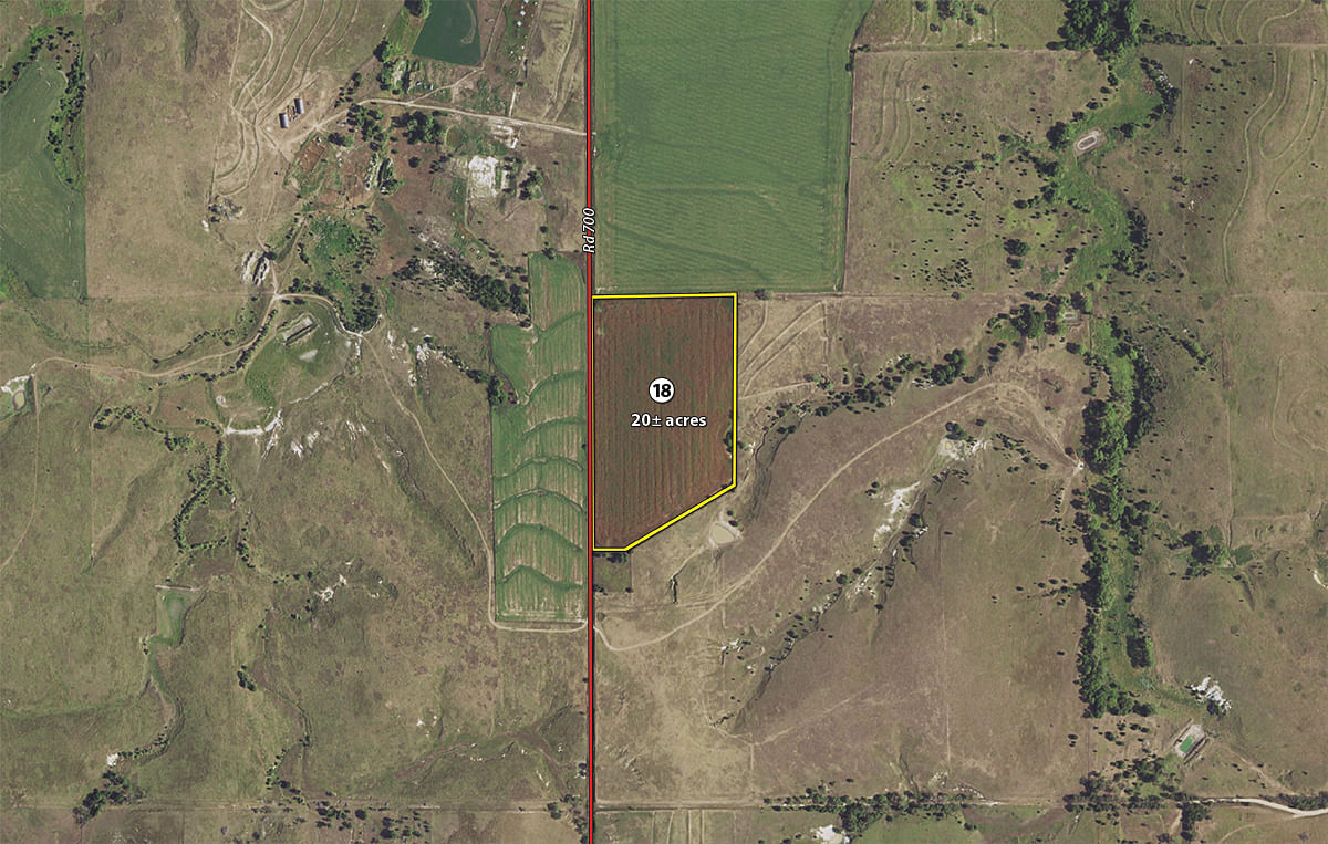
Tract 18:
20± ac
with 19.72+/- Ac. of Dryland. Predominate Soil is Holdrege with 0 to 11% slopes.
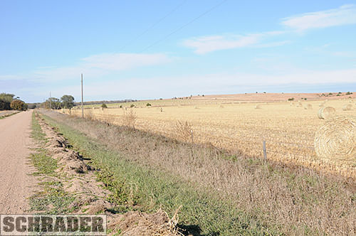
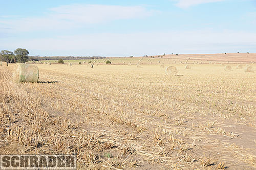
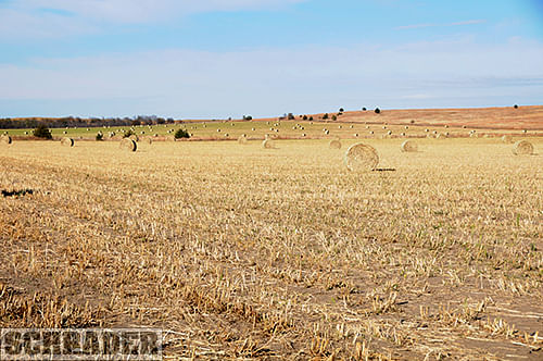
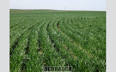
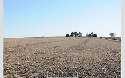
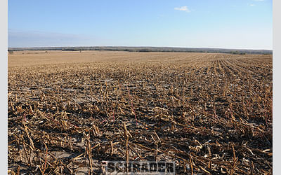
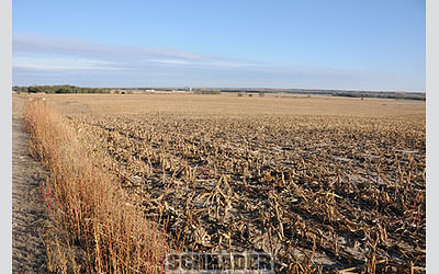
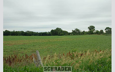
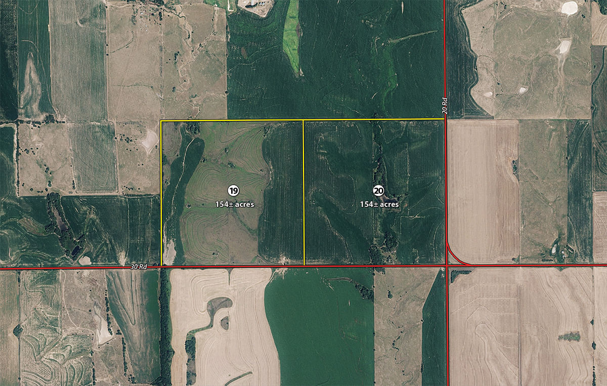
Tract 19:
154± ac
with 61.15+/- Ac. of Dryland and 89.98+/- Ac. of Hayland. Predominate Soils are Uly-Holdrege and Roxbury with 3 to 12% slopes.
Tract 20:
154± ac
with 144.4+/- Ac. of Dryland. Predominate Soils are Harney and Holdrege with 1 to 11% slopes.
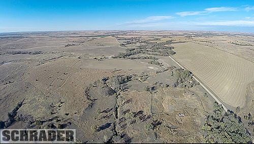
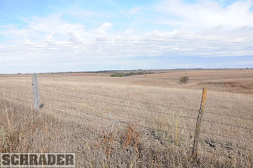
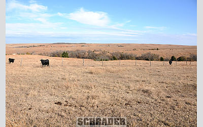
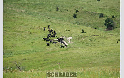
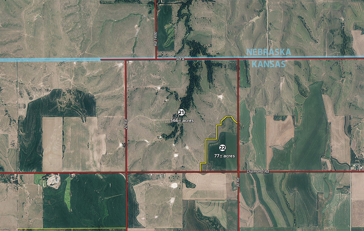
Tract 21:
566± ac
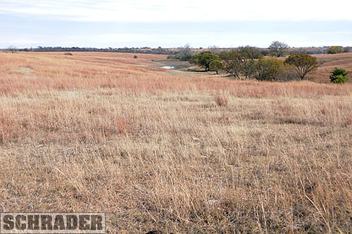
with 573.46+/- Ac. of Pasture. This Tract has 1 Tank Site that is Supplied by LRNRD Rural Water with Multiple Ponds and Dugouts. Currently the Water Meter is Across the Road to the North in the SE 1/4 of Section 31-1-10. the owner of this section will grant an easement to access rural water on Tract 21. This Tract has Springs that Run Periodically. Predominate Soils are Nuckolls-Roxbury, Holdrege and Geary with 3 to 30% slopes. This is an Excellent Recreation/Hunting Tract.
Tract 22:
77± ac
with 52.38+/- Ac. of Dryland and 16.99+/- Ac. of Hayland. Predominate Soils are Harney and Holdrege with 1 to 7% slopes.
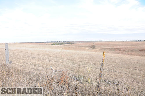
Tract 23: 640± ac with 624.65+/- Ac. of Pasture. This Tract has 1 Tank Site that is Supplied by LRNRD Rural Water with a Pond. This Tract has Multiple Springs that Run Most of the Year. There is a Catch Pen and Loadout on this Tract. Predominate Soils are Geary, Hobbs, Holdrege and Kipson with 3 to 30% slopes. This is an Excellent Recreation/Hunting Tract.
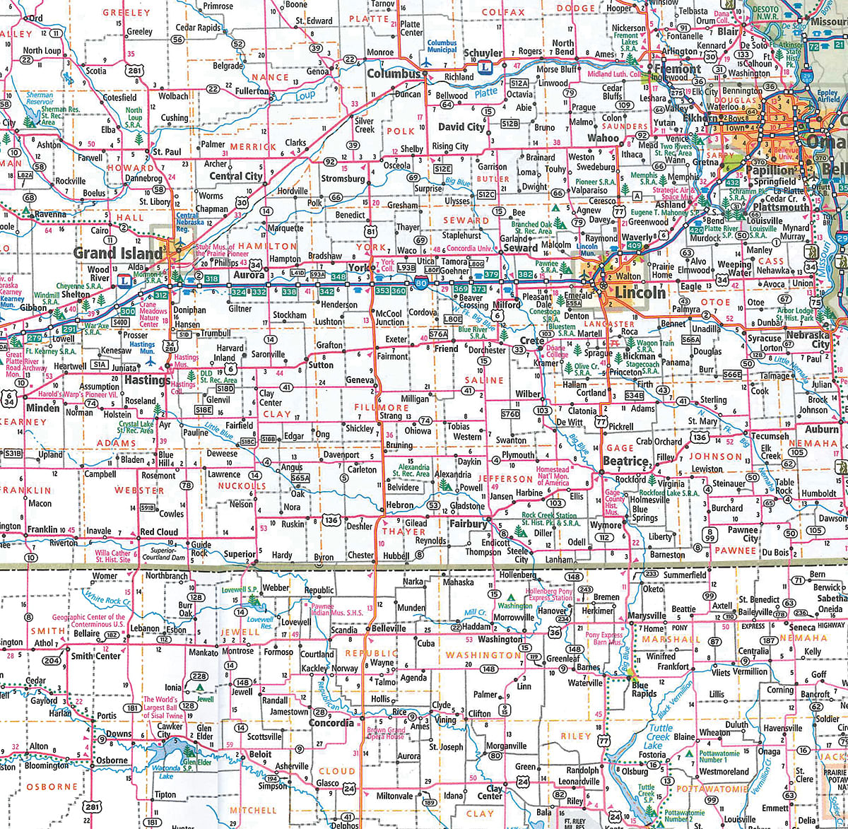
AREA MAP
TRACT MAP(S)
Tracts 1-3
Tract 4
Tract 5-6
Tract 7
Tract 8-9

Tract 10

Tract 11
Tract 12-17
Tract 18
Tract 19-20
Tract 21-22
Tract 23

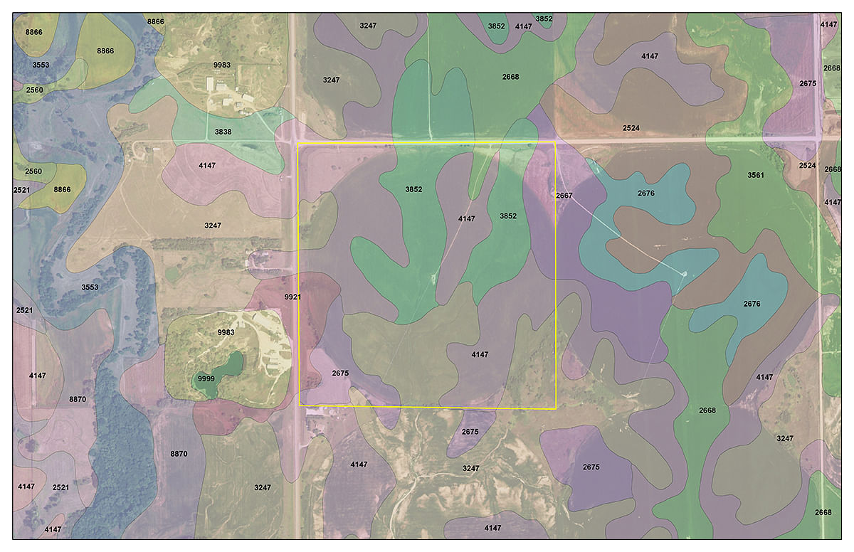
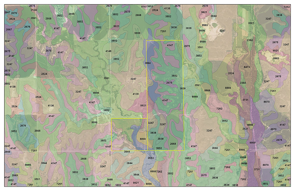
SOIL INFORMATION
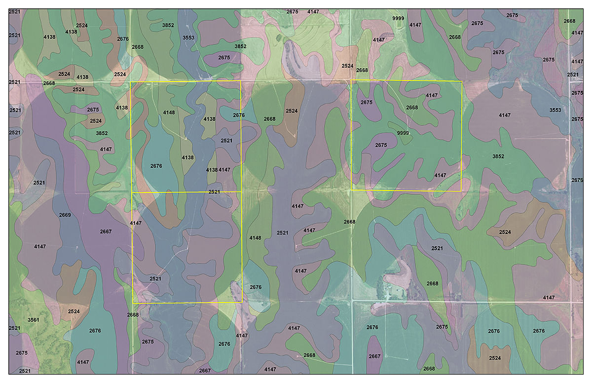
Tracts 1-3

Tract 4

Tract 5-6
Tract 7
Tract 8-9

Tract 10

Tract 11
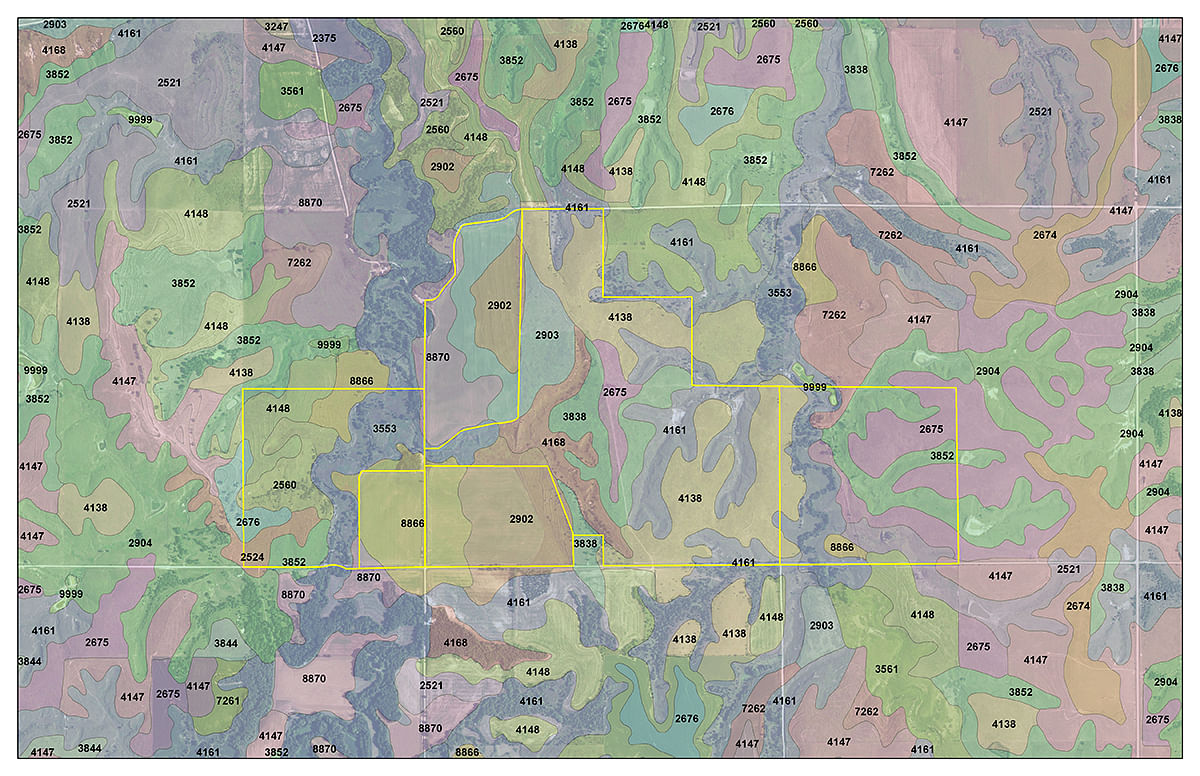
Tract 12-17
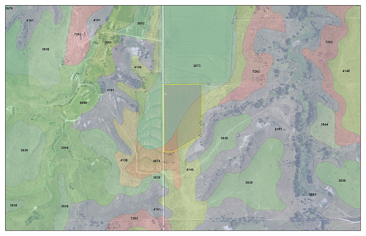
Tract 18
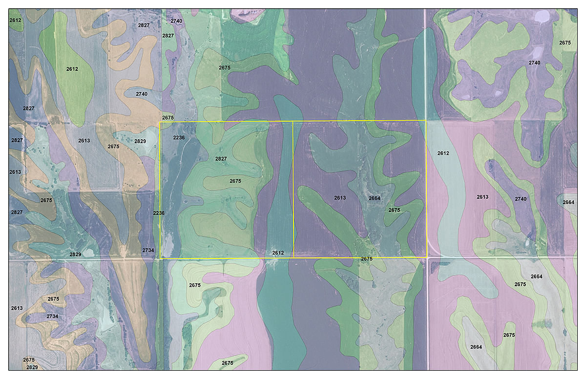
Tract 19-20
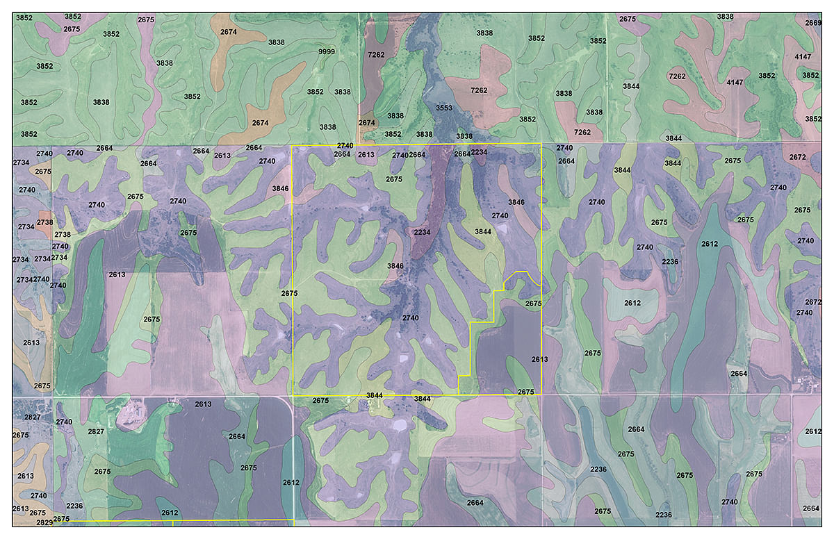
Tract 21-22
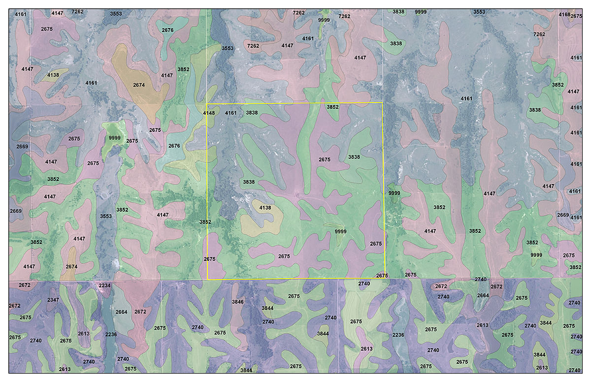
Tract 23
AREA MAP(S)

PROCEDURE: Tracts 1 through 23 will be offered in individual tracts, in any combination of these 23 tracts, or as a total unit. There will be open bidding on all tracts and combinations during the auction as determined by the Auctioneer. Bids on tracts, tract combinations and the total property may compete. The property will be sold in the manner resulting in the highest total sale price.
DOWN PAYMENT: 10% of the accepted bid price as down payment on the day of auction with the balance in cash at closing. If the bidder pre-registers with the Auction Company on or before Thursday, January 21, then cash or a personal check will be accepted for the down payment (contact Auction Company for a pre-registration form or visit www.schraderauction.com). If the bidder does not pre-register, a bank letter of credit or guarantee will be required with a personal check. YOUR BIDDING IS NOT CONDITIONAL UPON FINANCING, SO BE SURE YOU HAVE ARRANGED FINANCING, IF NEEDED, AND ARE CAPABLE OF PAYING CASH AT CLOSING.
APPROVAL OF BID PRICES: All successful bidders will be required to enter into purchase agreements at the auction site immediately following the close of the auction. The auction bids are subject to the acceptance or rejection by the Seller.
DEED: Seller shall provide Special Warranty Deed(s).
EVIDENCE OF TITLE: The Seller agrees to furnish an Owners Policy of Title Insurance in the amount of the purchase price. Cost of the Title Insurance to be split 50:50 between Buyer and Seller. Any lenders Title Insurance and endorsements will be paid by the Buyer.
CLOSING: The closing shall take place by February 29, 2016 or as soon thereafter as applicable closing documents are completed by Seller. Seller and Buyer shall share 50:50 the cost of closing.
POSSESSION: Possession is at closing, subject to any remaining rights of the farm tenants including the Pasture Rent Farm Lease through February, 2016.
REAL ESTATE TAXES: The Seller shall be responsible for the 2015 calendar year taxes and the Buyer shall be responsible for the taxes due for 2016 calendar year and thereafter.
MINERALS: Seller shall include with the sale of the real estate all mineral rights they own, if any.
SURVEY: The Seller shall provide a new survey where there is no existing legal description or where new boundaries are created by the tract divisions in this auction. Any need for a new survey shall be determined solely by the Seller. Seller and successful bidder shall each pay half (50:50) of the cost of the survey. The type of survey performed shall be at the Sellers option and sufficient for providing title insurance. Closing prices shall be adjusted to reflect any difference between advertised and surveyed acres, if a new survey is determined to be necessary by the Seller.
ACREAGE AND TRACTS: All acreages are approximate and have been estimated based on current legal descriptions and/or aerial photos. Any corrections, additions, or deletions will be made known prior to the auction.
AGENCY: Schrader Real Estate and Auction Company, Inc., The Lund Company and their representatives are exclusive agents of the Seller.
DISCLAIMER AND ABSENCE OF WARRANTIES: All information contained in this brochure and all related materials are subject to the terms and conditions outlined in the Purchase Agreement. The property is being sold on an AS IS, WHERE IS basis, and no warranty or representation, either expressed or implied, concerning the property is made by the Seller or the Auction Company. All sketches and dimensions in the brochure are approximate. Each potential bidder is responsible for conducting his or her own independent inspections, investigations, inquiries, and due diligence concerning the property. The information contained in this brochure is subject to verification by all parties relying on it. No liability for its accuracy, errors, or omissions is assumed by the Seller or the Auction Company. Conduct of the auction and increments of bidding are at the direction and discretion of the Auctioneer. The Seller and Selling Agents reserve the right to preclude any person from bidding if there is any question as to the persons credentials, fitness, etc. All decisions of the Auctioneer are final. ANY ANNOUNCEMENTS MADE THE DAY OF THE SALE TAKE PRECEDENCE OVER PRINTED MATERIAL OR ANY OTHER ORAL STATEMENTS MADE.
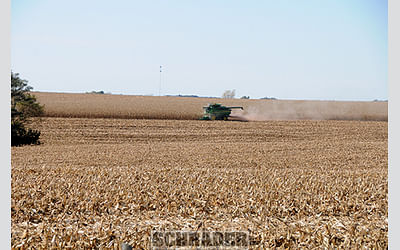
STOCK PHOTOGRAPHY: Some photos are for illustrative purposes only and are not of the auction property.
OWNER: Lewis Trust