


• Outstanding views • Tillable land and pastureland • Wooded areas and multiple ponds • Tracts ranging from 6 to 76 acres

LAND AUCTION, 520+/- Acre McClain County Oklahoma Land Auction Offered in 23 Tracts
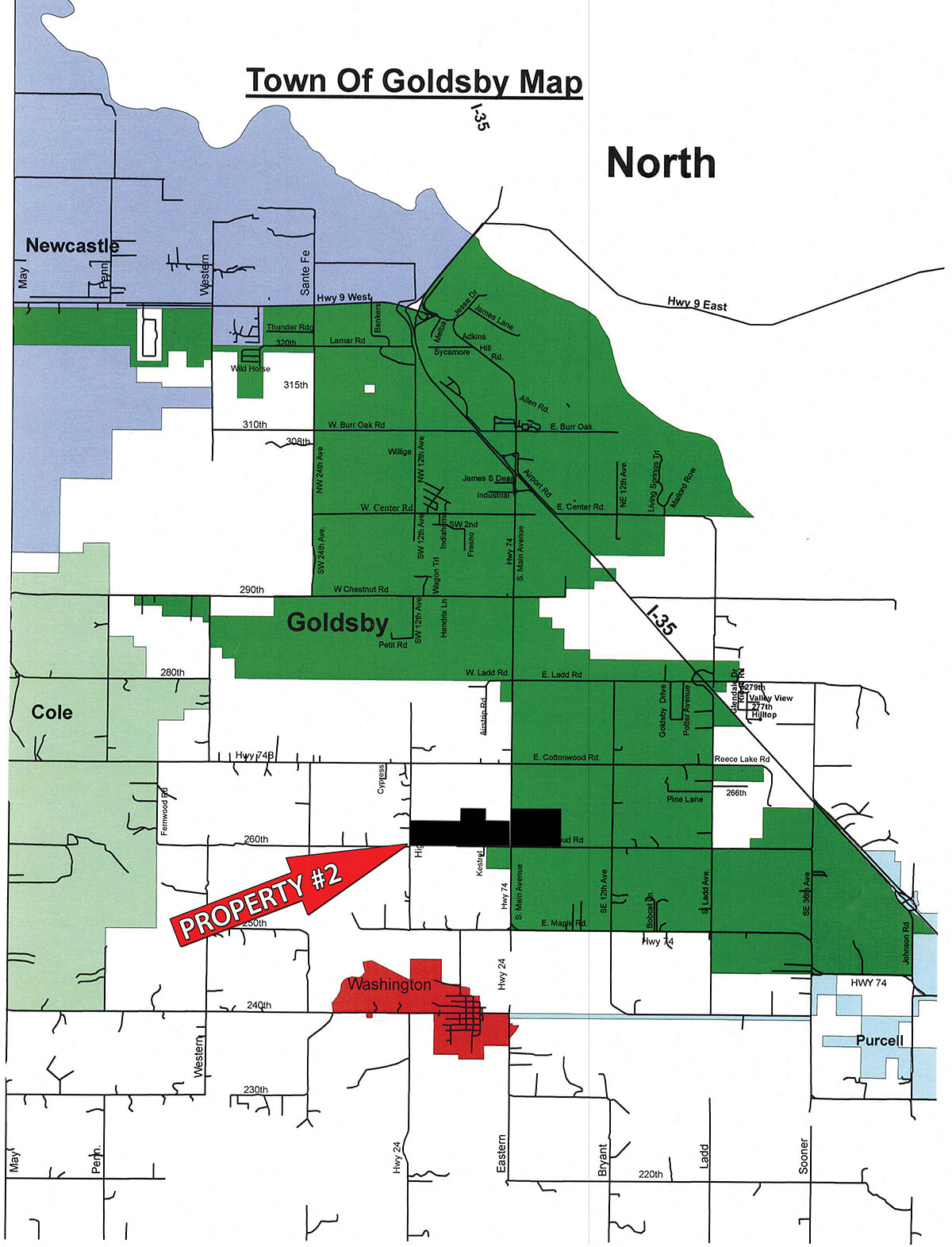
Near Goldsby and Purcell, Oklahoma
Owner: DD&L, Freede, Wetzel, BBR Farms Thu, Jun 25, 2015 EASTERNAUCTION IS OVER
TOTAL SOLD: $2,468,960
| Tract(s): 1+2 | @ $161,200 | ($6,716/acre) |
| Tract(s): 3 | @ $52,000 | ($4,333/acre) |
| Tract(s): 4 | @ $119,600 | ($9,966/acre) |
| Tract(s): 5+6 | @ $260,000 | ($3,611/acre) |
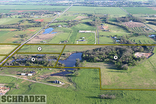
| Tract(s): 7-9 | @ $426,400 | ($4,264/acre) |
| Tract(s): 10 | @ $228,800 | ($5,720/acre) |
| Tract(s): 11 | @ $104,000 | ($2,600/acre) |
| Tract(s): 12+13 | @ $158,080 | ($12,160/acre) |
| Tract(s): 14+15 | @ $179,920 | ($6,663/acre) |
| Tract(s): 16 | @ $106,080 | ($5,304/acre) |
| Tract(s): 17-19 | @ $348,400 | ($4,355/acre) |
| Tract(s): 20-23 | @ $324,480 | ($4,056/acre) |

OPEN HOUSE/INSPECTION DATES
May 19 & June 18 from 4 - 6pm or by appointment
PROPERTY LOCATION
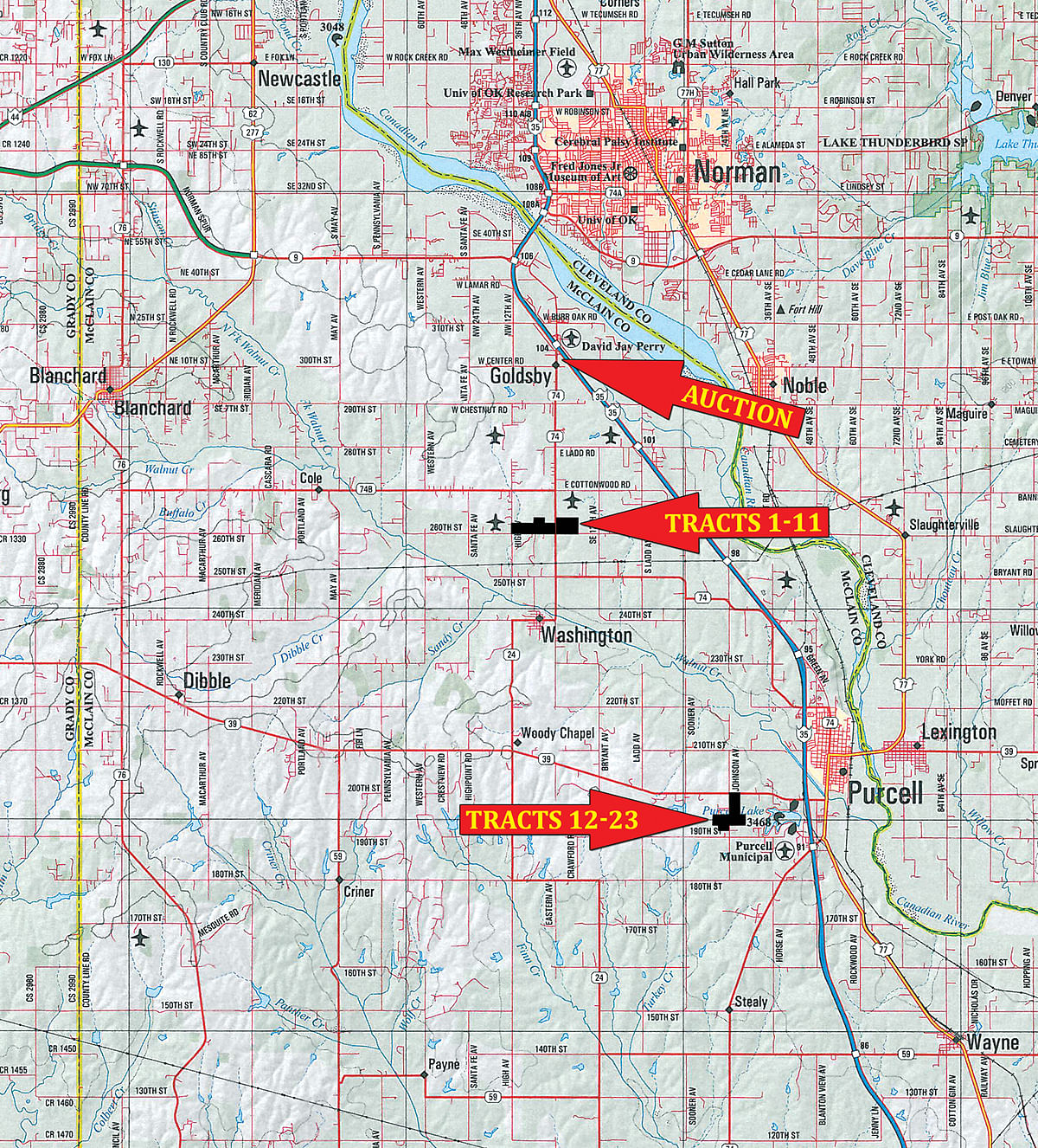
Directions to Tracts 1-11: Take exit 104 off I-35 and go south on Hwy 74 for 4 miles and the property will begin on both sides of the road.
Directions to Tracts 12-23: Take exit 91 off I-35 and turn east to merge onto Hwy 77. Follow Hwy 77 for 1.4 miles and turn left on Hwy 39. Take Hwy 39 for 2.0 miles and the property will begin on the left.
AUCTION LOCATION
Goldsby Community Center, 122 E. Center Rd., Goldsby, Oklahoma 73093
You may bid online during the auction at www.schraderauction.com. You must be registered One Week in Advance of the Auction to bid online. For online bidding information, call Kevin Jordan at Schrader Auction Co. - 800-451-2709
PROPERTY DESCRIPTION
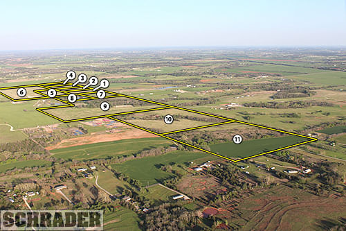
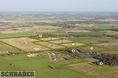
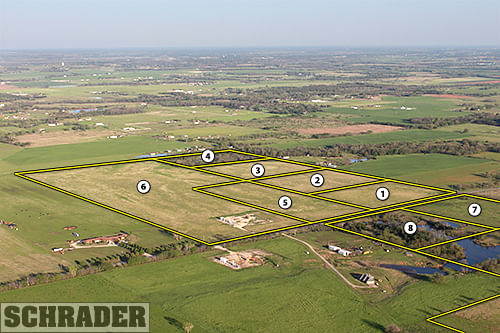
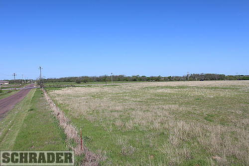
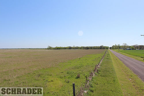
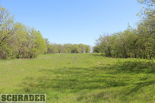
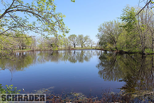
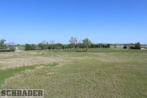
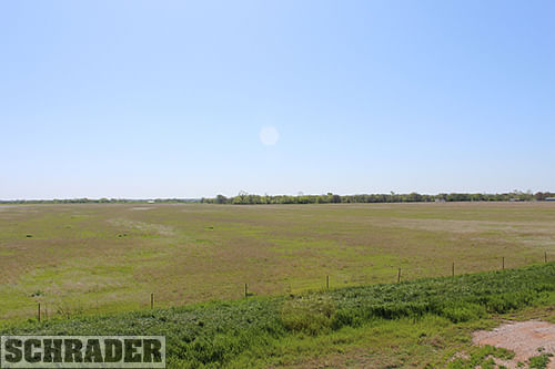
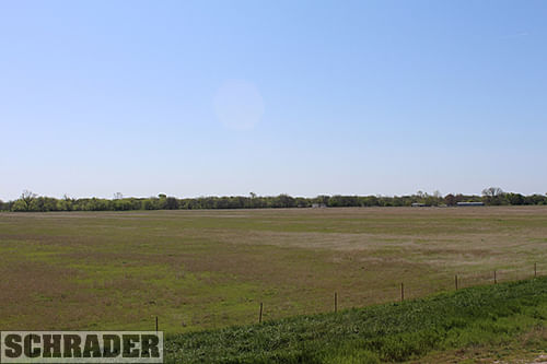
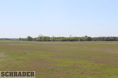
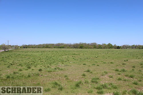
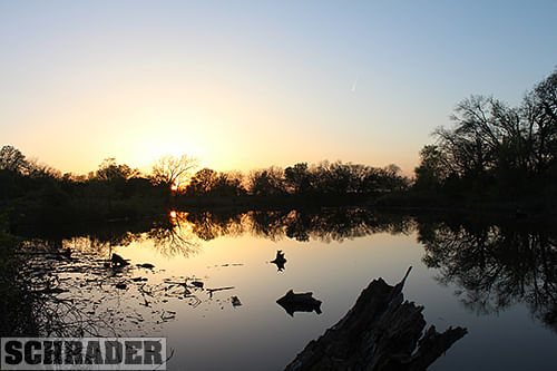
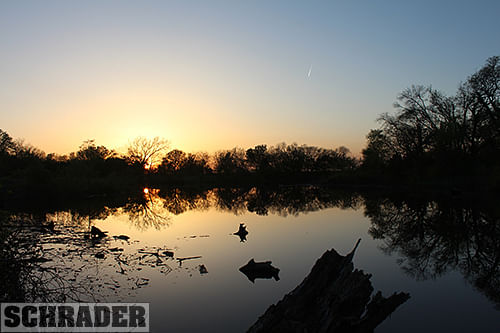
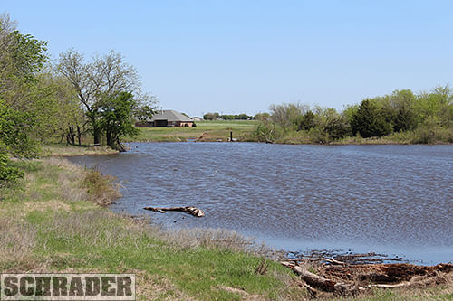
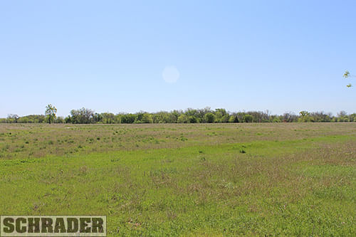
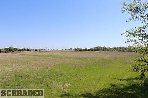
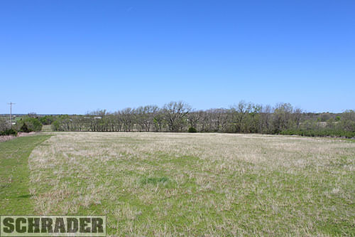
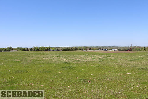
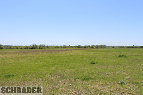
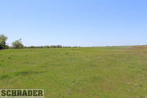
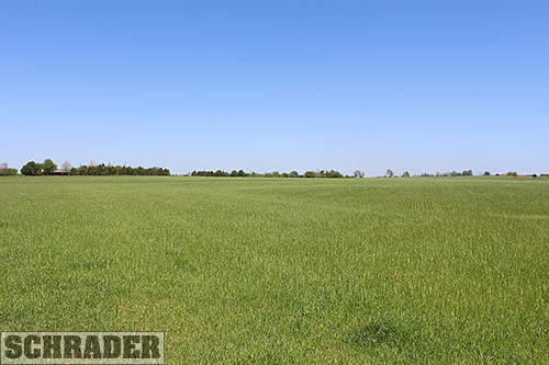
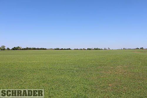
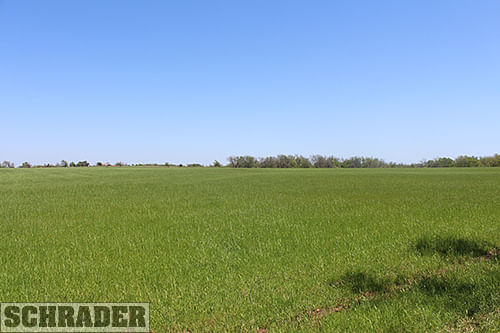
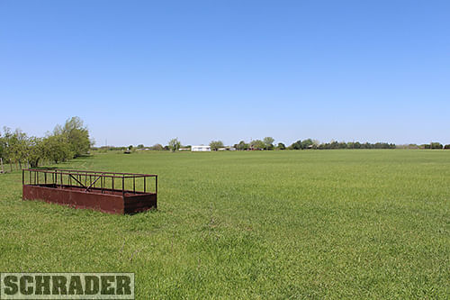
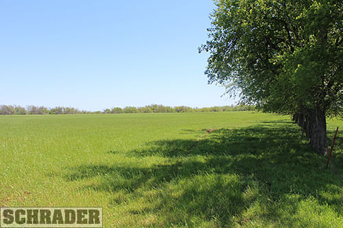
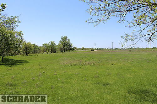
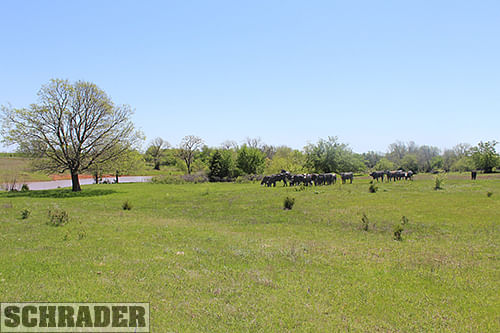
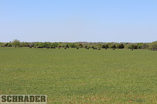
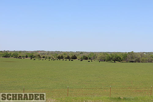
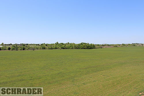
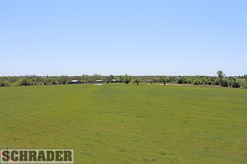
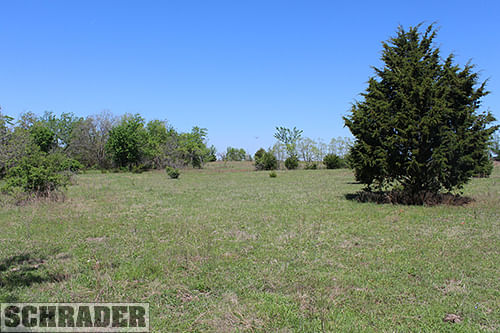
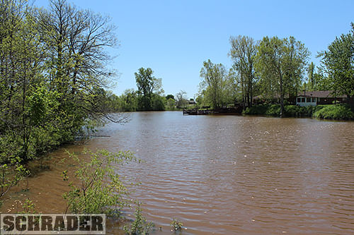
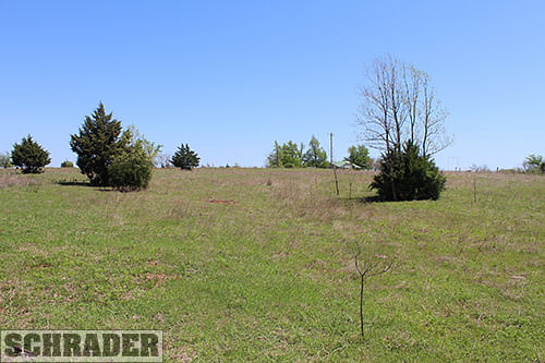
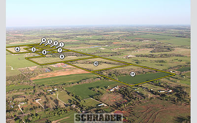
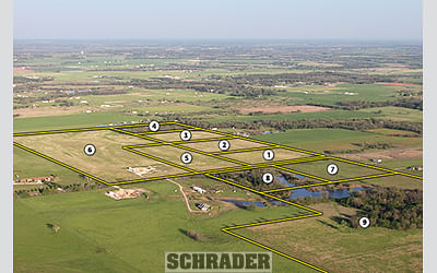
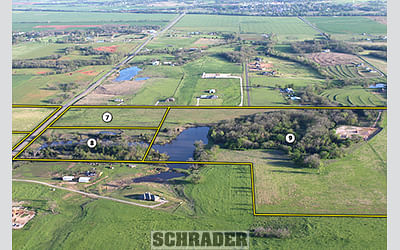
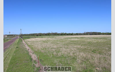
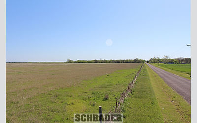
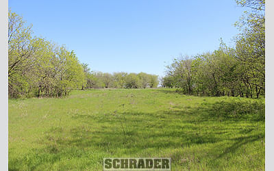
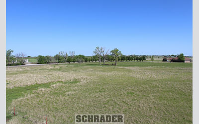
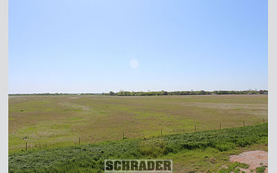
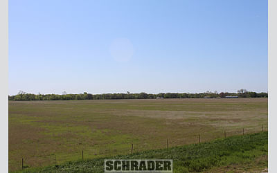
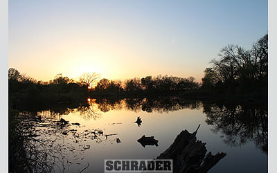
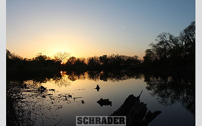
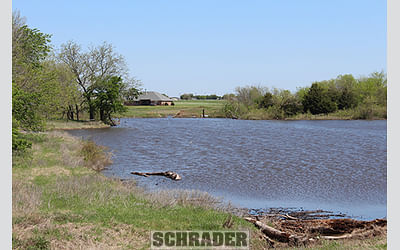
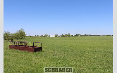
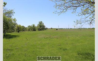
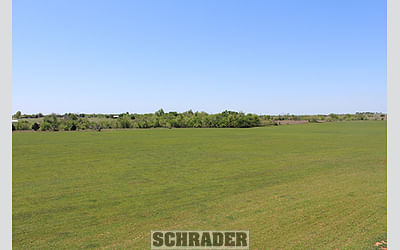
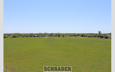
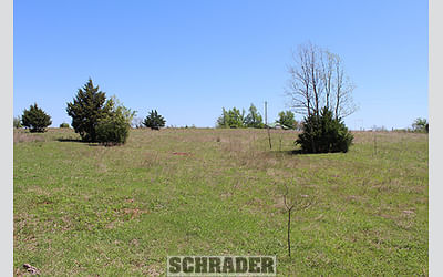
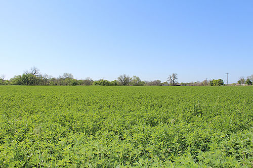
Comprised of two original tracts, this opportunity provides buyers with parcels located near the thriving communities of Goldsby and Purcell both in McClain County, Oklahoma. Tracts 1-11 are located just 4 miles south of the I-35 Goldsby Exit along Hwy 74. These tracts offer a mixture of pastureland, tillable land, wooded areas and multiple ponds with varying topography. Much of this property is located within the town limits of Goldsby, providing access to utilities. Tracts 12-23 are located 1.5 miles west of I-35 along Hwy 39. These tracts include areas of native pastureland, tillable land, multiple ponds, and small wooded pieces, all with frontage on paved roads just 1.5 miles west of Purcell. Many tracts on both the Goldsby and Purcell locations boast outstanding views of the surrounding landscapes and are well suited for ranching, recreational, and/or residential development. For more thorough information regarding soil maps, title work, utility information, tax cards, and additional photos please reference our Bidder Information Booklet. The property will be offered in 23 individual tracts and combinations of tracts that range from 6 to 76 acres.
TRACT DESCRIPTIONS
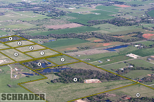
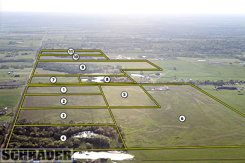
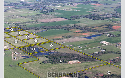
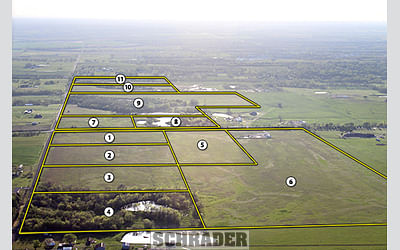
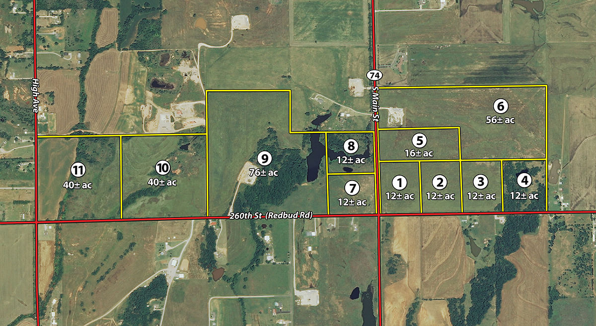
Tract 1: 12± ac corner tract located at the intersection of Hwy 74 and Redbud Rd. This tract is comprised partially of Bethany Silt Loam, a Class I non-irrigated soil type.
Tract 2: 12± ac pastureland with frontage along Redbud Rd., soils are a mixture of Bethany Silt Loam and Pawhuska Bethany Complex.
Tract 3: 12± ac pastureland with frontage along Redbud Rd.
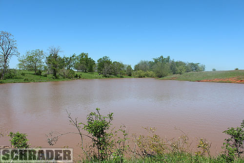
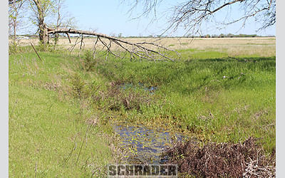
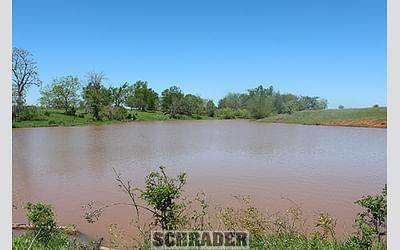
Tract 4: 12± ac a mixture of pastureland, mature hardwood trees and a spring fed pond. One of the most active springs that I have personally seen in this area of Oklahoma, if you are looking for an beautiful potential building site do not overlook tract 4.
Tract 5: 16± ac open pastureland with great elevation and frontage along Hwy 74.
Tract 6: 56± ac open pastureland mostly comprised of Bethany Pawhuska soils, with frontage along Hwy 74. Excellent site for a starter ranch if you are looking for more acres you can always combine with surrounding parcels!
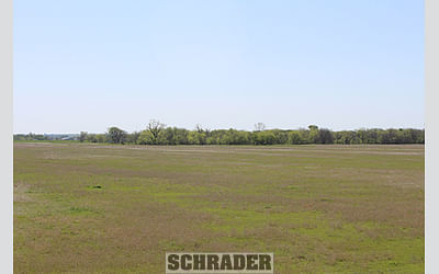
Tract 7: 12± ac corner tract located at the intersection of Hwy 74 and Redbud Rd. This tract is mostly comprised of Bethany Silt Loam, Class I soils.
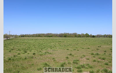
Tract 8: 12± ac a mixture of open pastureland, mature hardwoods and topography changes. Much like tract 4, this parcel has some outstanding potential building sites to explore during your inspections!
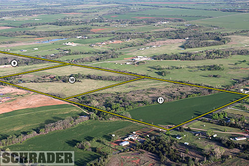
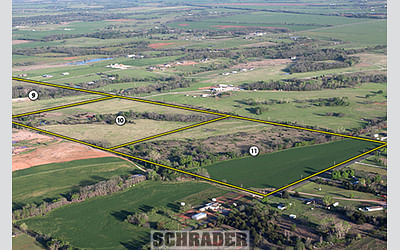
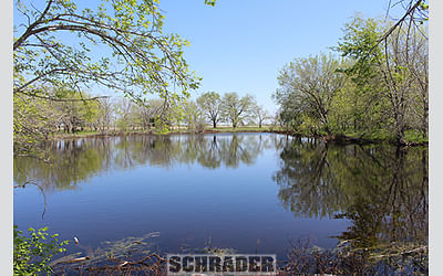
Tract 9: 76± ac the largest but also the most diverse tract offered in the auction. This parcel is a mixture of hardwood bottoms, pastureland and a large pond. Much of the parcel is Bethany Silt Loam and Pond Creek Silt Loam soils, offering excellent fertility to use the land for a variety of purposes.
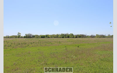
Tract 10: 40± ac positioned on the west side of the property and has access via Redbud Rd. This parcel has excellent elevation on the east side and gently rolls into the bottom with excellent topography.
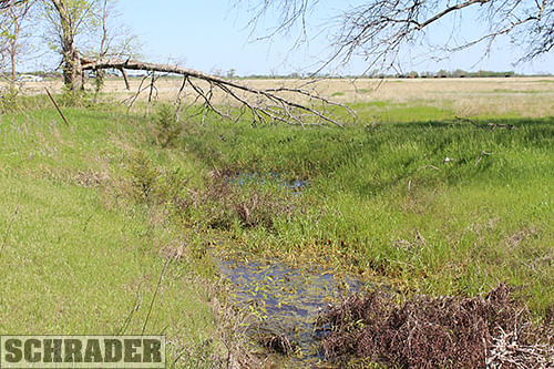
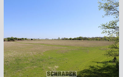
Tract 11: 40± ac positioned on the far west side of the property, with frontage on High Avenue. This parcel is dissected by a live water creek.
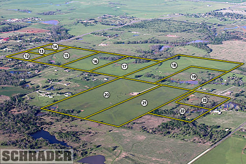
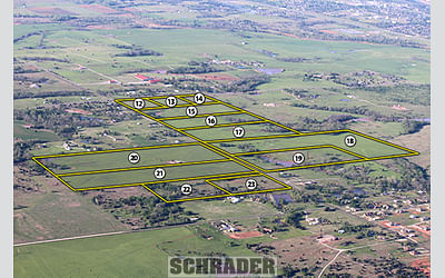
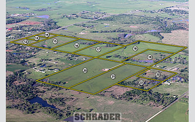
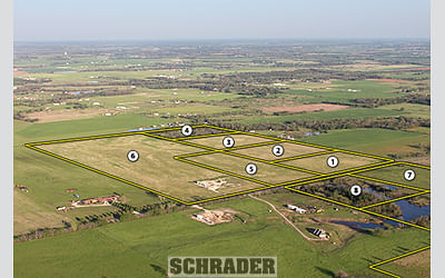
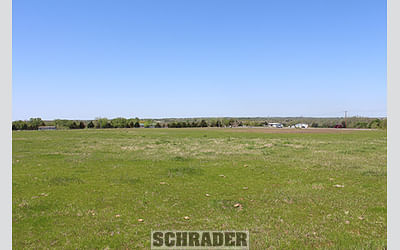
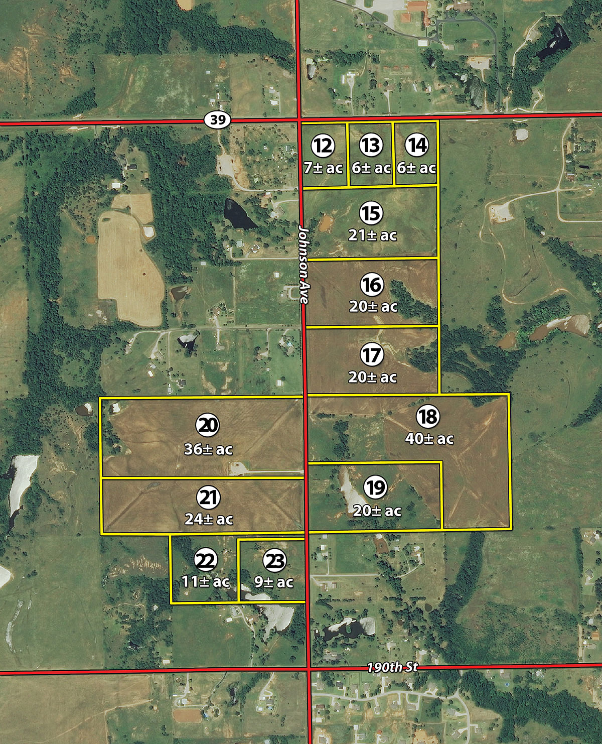
Tract 12: 7± ac corner tract with excellent elevation overlooking the surround landscape, located at the intersection of Johnson Avenue and Hwy 39.
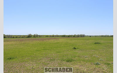
Tract 13: 6± ac along Hwy 39 and is positioned at the highest and most panoramic point on the property.
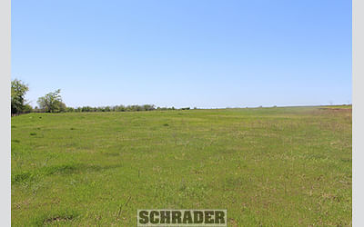
Tract 14: 6± ac open pastureland with frontage along Hwy 39.
Tract 15: 21± ac open pastureland that has a small pond and gently rolling topography, located along Johnson Avenue.
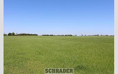
Tract 16: 20± ac a mixture of tillable land with mostly Grand Silt Loam-Class II soils and hardwood trees, located along Johnson Avenue.
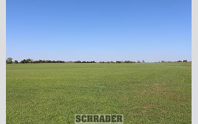
Tract 17: 20± ac a mixture of tillable land and hardwood trees that taper off to the east, all with frontage on Johnson Avenue.
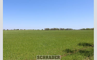
Tract 18: 40± ac a mixture of pastureland and tillable land. This parcel has some good topography changes with a small drainage along the front rolling up to the east side of the tract.
Tract 19: 20± ac diverse tract with a good pond, mature trees and pastureland all with frontage along Johnson Avenue.
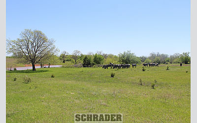
Tract 20: 36± ac mostly open tillable land, a small pond along the back fence line and some hardwood trees.
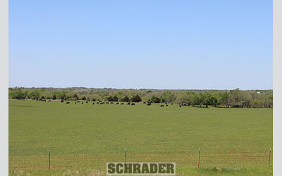
Tract 21: 24± ac open land with good access along Johnson Avenue.
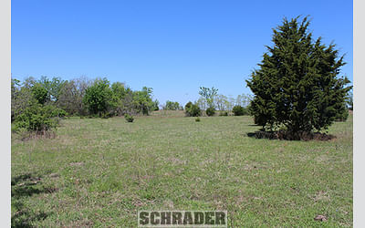
Tract 22: 11± ac diverse landscape blending mature hardwood trees and pastureland together. This parcel is secluded and has some outstanding potential building sites.
Tract 23: 9± ac mostly open pastureland and a deep pond, another excellent potential building site to investigate during your inspection!
TRACT MAP(S)
AREA MAP(S)

PROCEDURE: Tracts 1 through 23 will be offered in individual tracts, in any combination of these tracts, or as a total unit per auction date and time. There will be open bidding on all tracts and combinations during the auctions as determined by the Auctioneer. Bids on tracts, tract combinations and the total property may compete. The property will be sold in the manner resulting in the highest total sale price.
BUYERS PREMIUM: The contract purchase price will include a Buyers Premium equal to 4% of the bid amount.
DOWN PAYMENT: 10% of the total contract purchase price will be due as a down payment on the day of auction, with the balance due in cash at closing. The down payment may be made in the form of cashiers check, personal check, or corporate check. YOUR BIDDING IS NOT CONDITIONAL UPON FINANCING, SO BE SURE YOU HAVE ARRANGED FINANCING, IF NEEDED, AND ARE CAPABLE OF PAYING CASH AT CLOSING.
APPROVAL OF BID PRICES: All successful bidders will be required to enter into purchase agreements at the auction site immediately following the close of the auction. The auction bids are subject to the acceptance or rejection by the Seller.
DEED: Seller shall be obligated only to convey a merchantable title by individual DEED and/or TRUSTEES DEED without warranty.
EVIDENCE OF TITLE: Seller agrees to make available to bidder a preliminary title insurance commitment to review prior to auction. The cost of title insurance, if the buyer(s) elects to purchase the title insurance policy, will be the responsibility of the buyer(s). Seller agrees to provide merchantable title to the property subject to matters of record, general conditions of title, and similar related matters. All tracts sold AS-IS.
CLOSING: The closing shall take place 45 days after the auction or as soon thereafter as applicable closing documents are completed by Seller.
POSSESSION: Possession of the land shall be at closing or as soon thereafter as current lease agreements expire.
REAL ESTATE TAXES: Real Estate taxes shall be prorated to the date of closing.
MINERALS: Seller specifically excepts and reserves all minerals, including without limitation, oil, gas, coal, coalbed methane, and all other hydrocarbons, lignite, and all metallic minerals, etc., if any, associated with the referenced real estate, and the term Property will not include any mineral rights.
SURVEY: The Seller shall provide a new survey where there is no existing legal description or where new boundaries are created by the tract divisions in this auction. Any need for a new survey shall be determined solely by the Seller. Seller and successful bidder shall each pay half (50:50) of the cost of the survey. The type of survey performed shall be at the Sellers option and sufficient for providing title insurance. Closing prices shall be adjusted to reflect any difference between advertised and surveyed acres, if a new survey is determined to be necessary by the Seller.
ACREAGE AND TRACTS: All acreages are approximate and have been estimated based on current legal descriptions and/or aerial photos. Any corrections, additions, or deletions will be made known prior to the auction.
AGENCY: Schrader Real Estate and Auction Company, Inc. and their representatives are exclusive agents of the Seller.
DISCLAIMER AND ABSENCE OF WARRANTIES: All information contained in this brochure and all related materials are subject to the terms and conditions outlined in the Purchase Agreement. The property is being sold on an AS IS, WHERE IS basis, and no warranty or representation, either expressed or implied, concerning the property is made by the Seller or the Auction Company. All sketches and dimensions in the brochure are approximate. Each potential bidder is responsible for conducting his or her own independent inspections, investigations, inquiries, and due diligence concerning the property. The information contained in this brochure is subject to verification by all parties relying on it. No liability for its accuracy, errors, or omissions is assumed by the Seller or the Auction Company. Conduct of the auction and increments of bidding are at the direction and discretion of the Auctioneer. The Seller and Selling Agents reserve the right to preclude any person from bidding if there is any question as to the persons credentials, fitness, etc. All decisions of the Auctioneer are final. ANY ANNOUNCEMENTS MADE THE DAY OF THE SALE TAKE PRECEDENCE OVER PRINTED MATERIAL OR ANY OTHER ORAL STATEMENTS MADE. NEW DATE, CORRECTIONS AND CHANGES: Please arrive prior to scheduled auction time to inspect any changes or additions to the property information.
Click to download