


• Wooded Recreational Land • White River Frontage • Tillable & Pasture Land

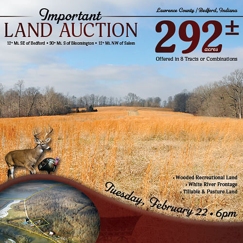
IMPORTANT LAND AUCTION - 292+/- ACRES OFFERED IN 8 TRACTS - LAWRENCE COUNTY - BEDFORD IN
Lawrence County - Bedford, Indiana
Owner: Bobbi and Cindy Rout Tue, Feb 22, 2022 EASTERNAUCTION IS OVER
TOTAL SOLD: $645,000
| Tract(s): 1-8 | @ $645,000 | ($2,186/acre) |

OPEN HOUSE/INSPECTION DATES
Tuesday, January 25 from 1-4pm and Thursday, February 10 from 10am-Noon, Meet a Schrader Representative at the shop on Tract 5
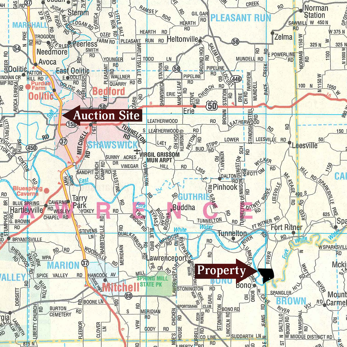
PROPERTY LOCATION
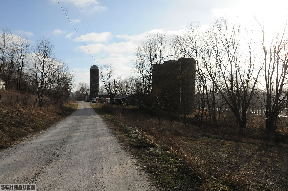
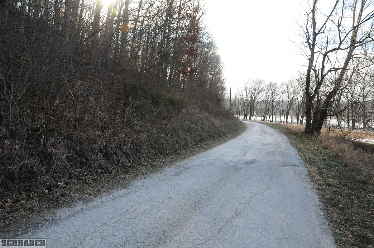
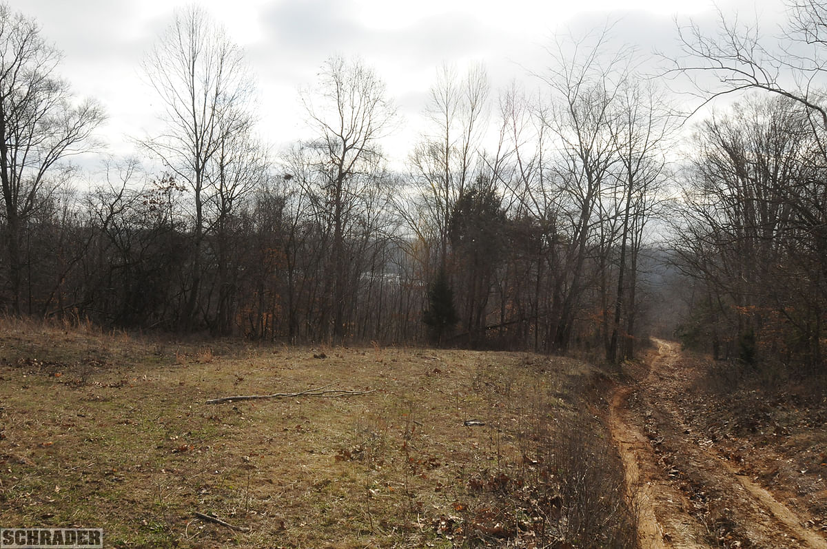
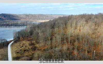
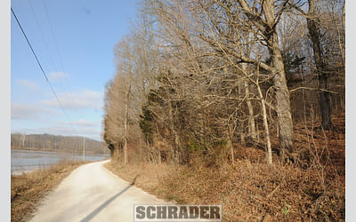
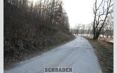
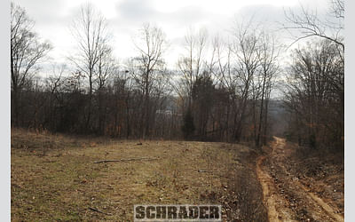
From the intersection of Hwy-50 & Leesville Rd, travel S on Leesville Rd for 7 mi. to Fort Ritner Rd, turning right there (SW). In .5 mi. turn S on Underwood Rd for 1 mi. to the railroad underpass where the road changes to River Rd. Keep traveling S along Tunnel Hill & the river bottoms for 2.5 mi. to the farms improvement site at Tract 5 (5077 River Rd, Bedford, IN 47421).
AUCTION LOCATION
Quality Inn, 911 Constitution Ave, Bedford, IN (along State Rd 37)
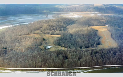
PROPERTY DESCRIPTION
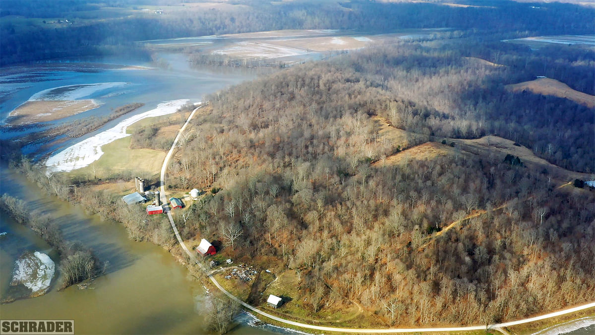
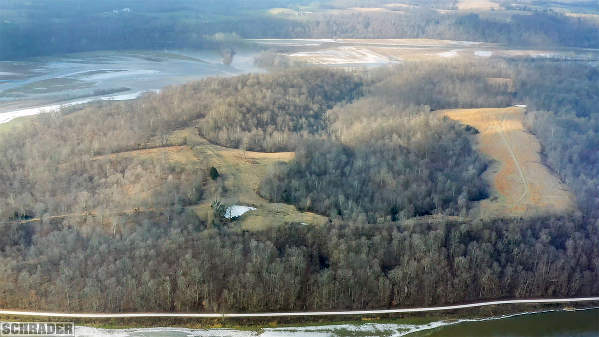
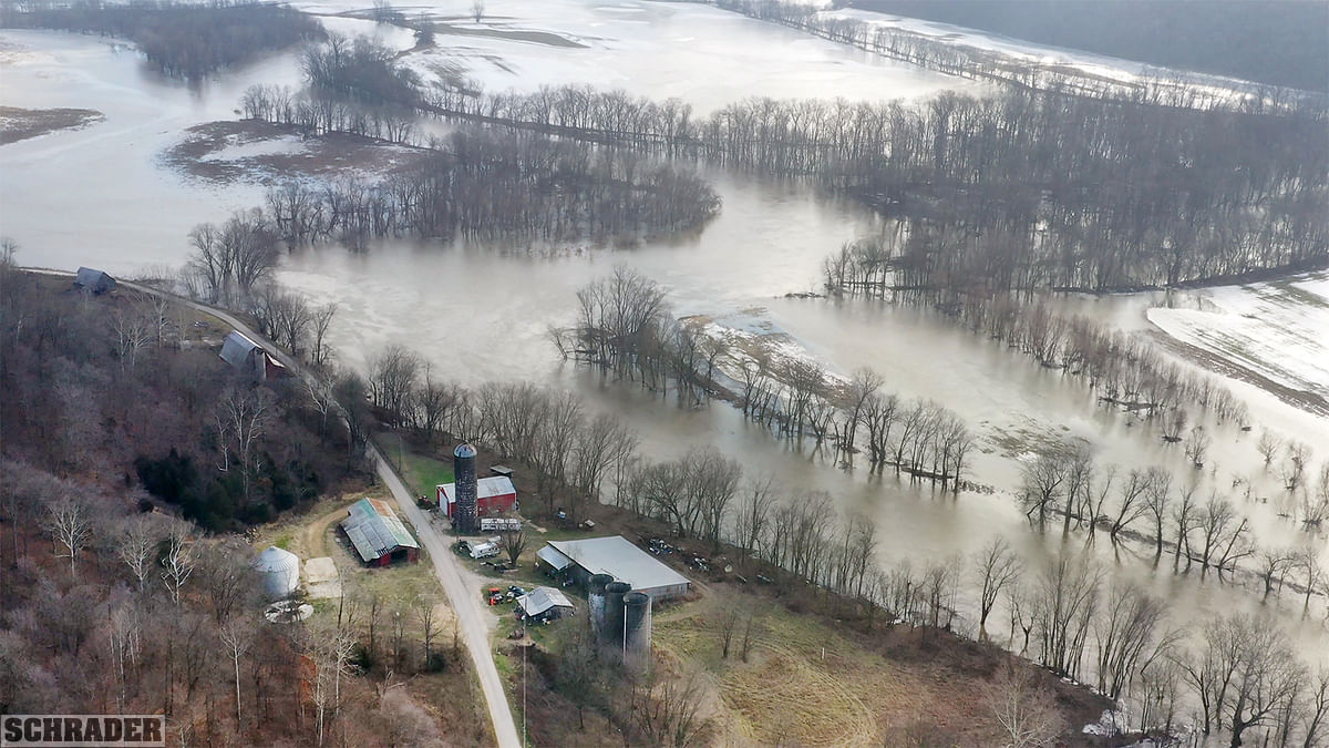
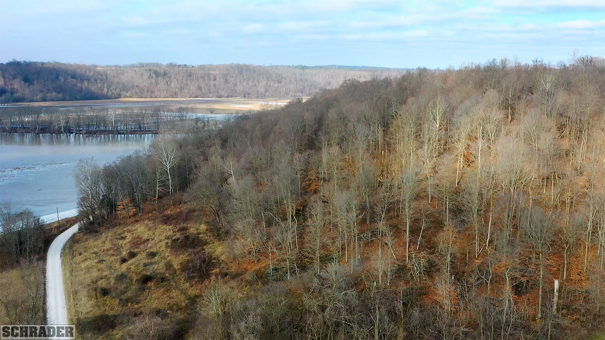
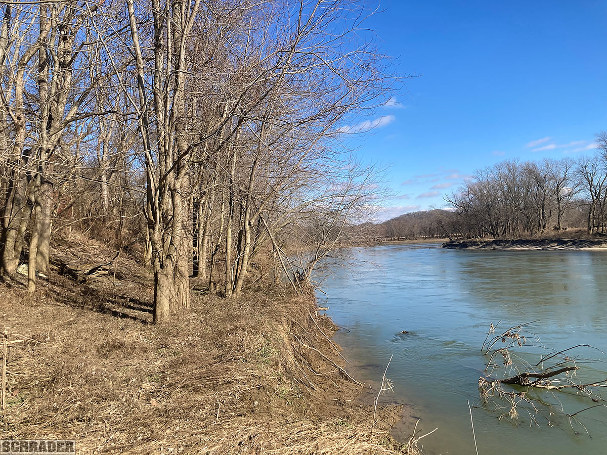
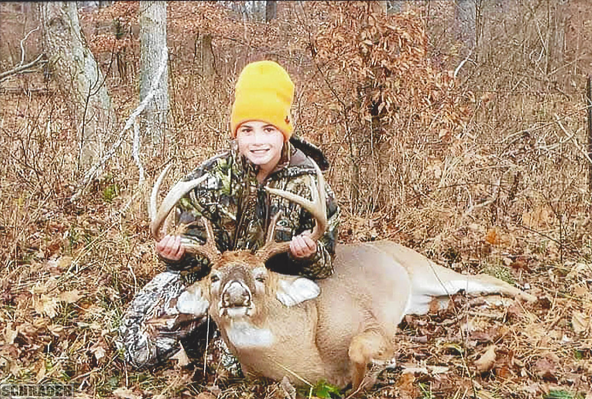
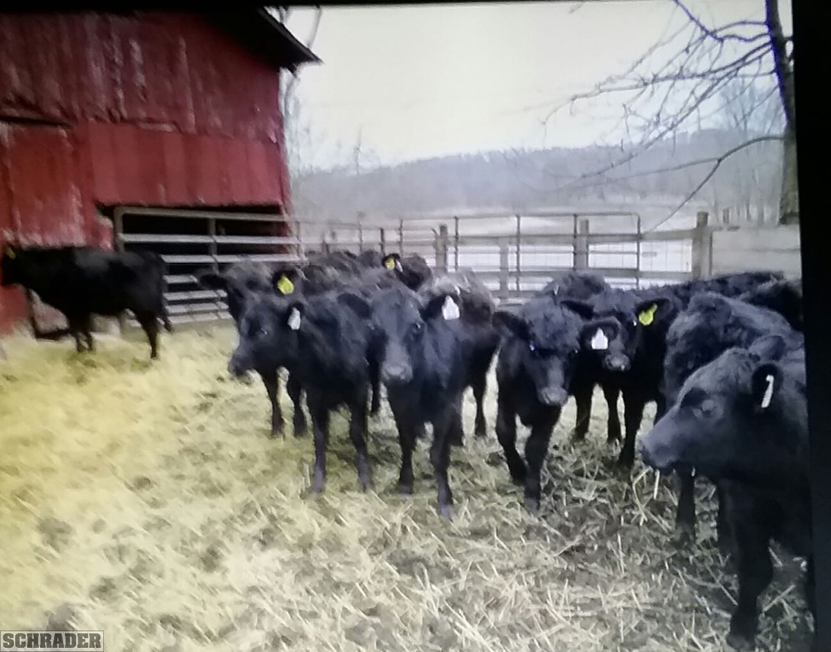
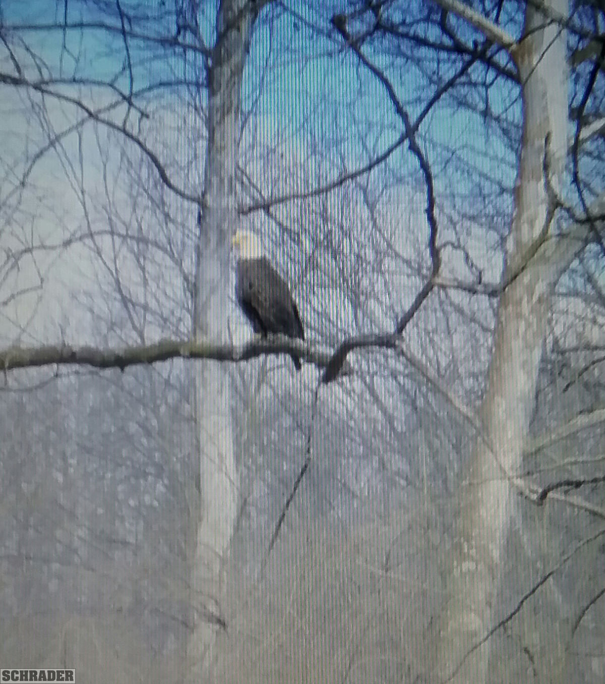
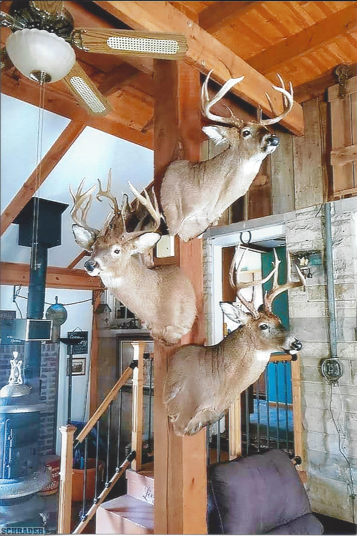
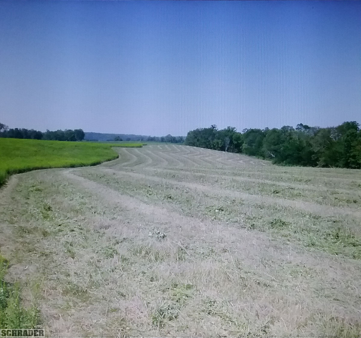
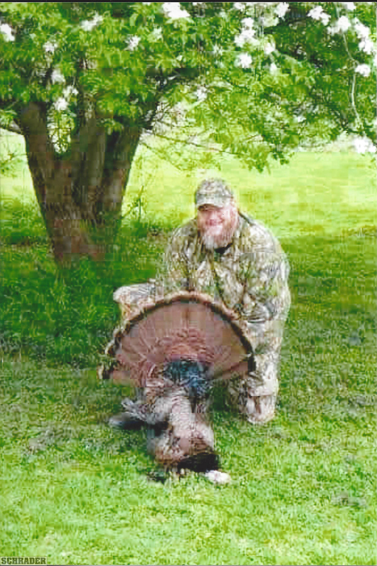
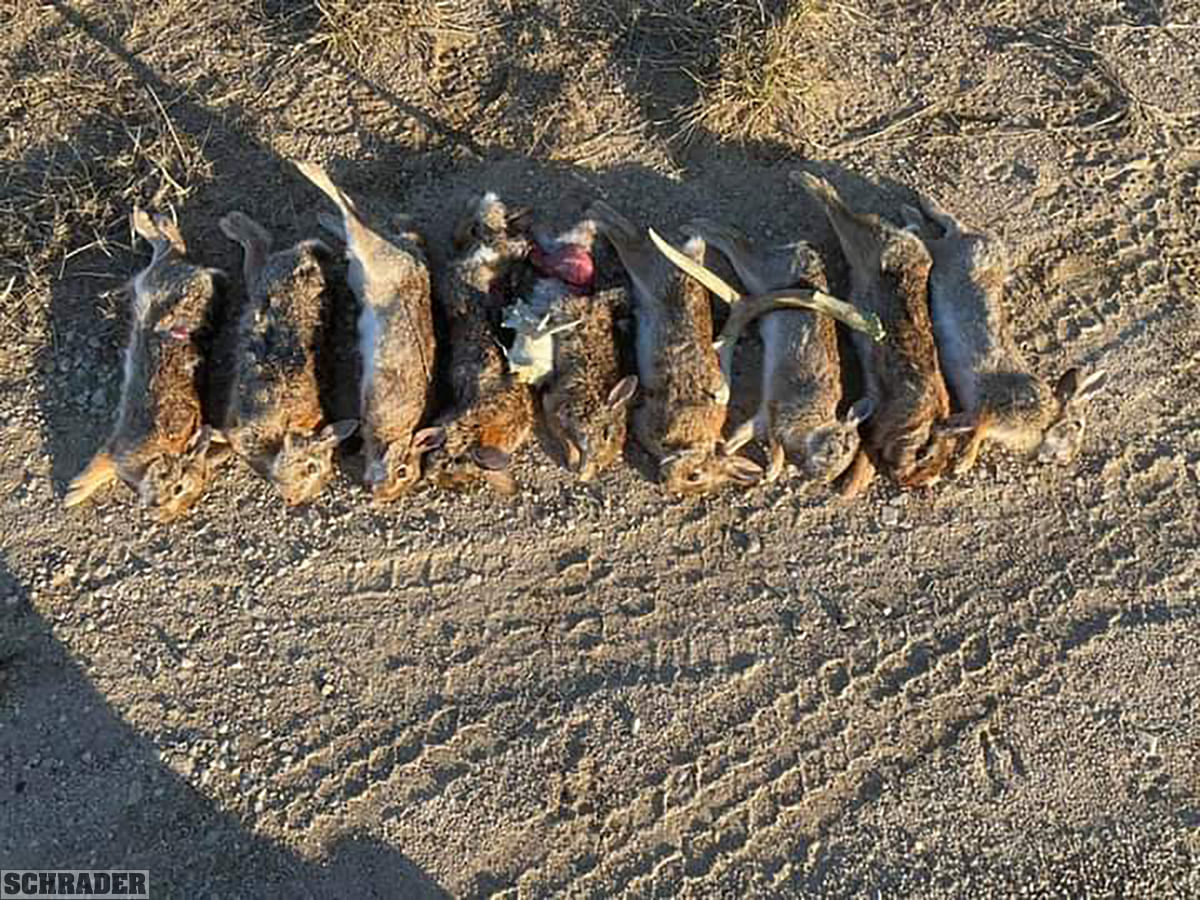
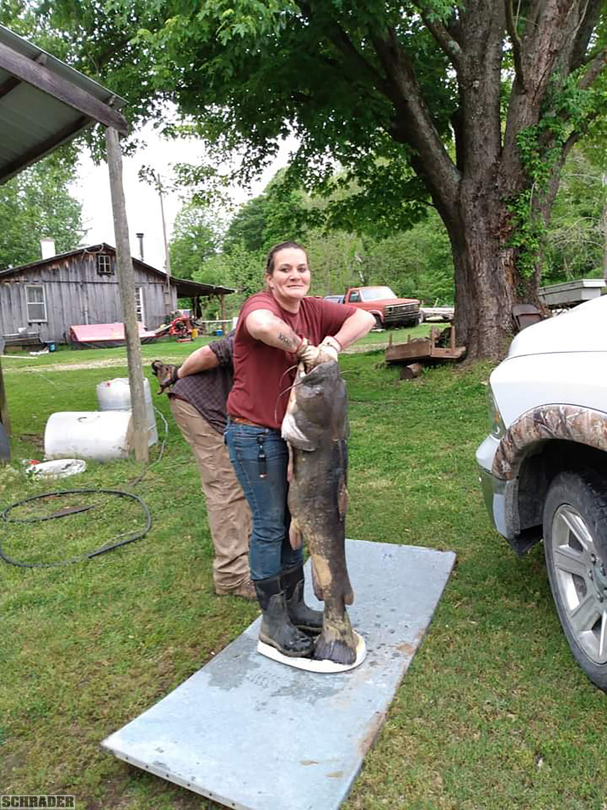
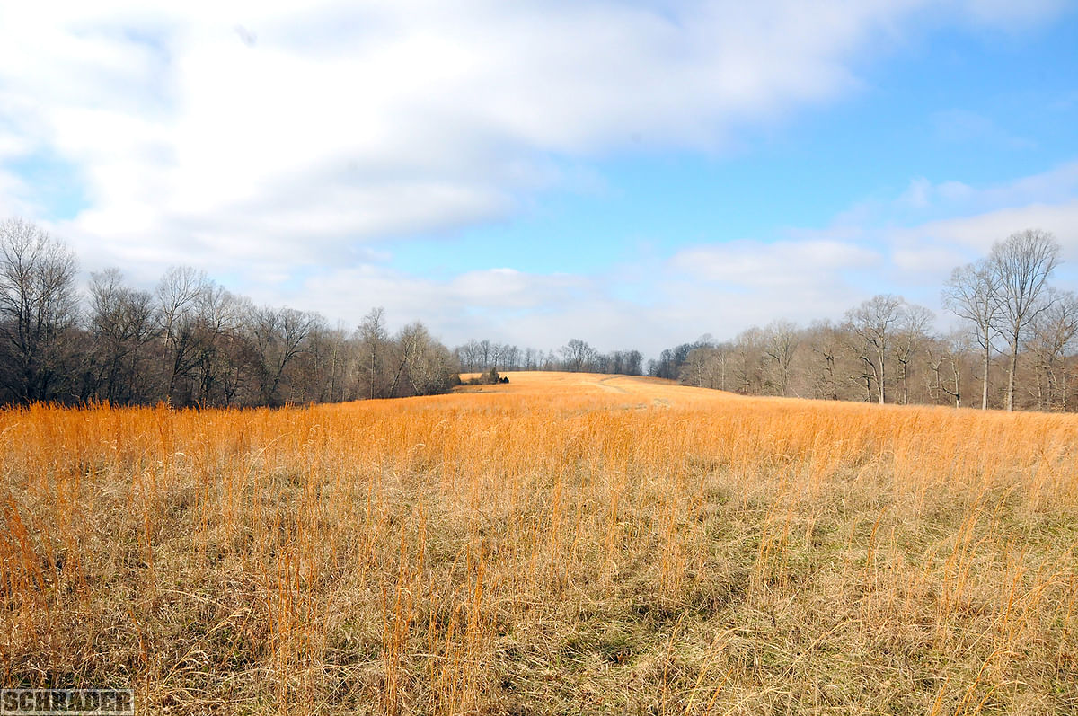
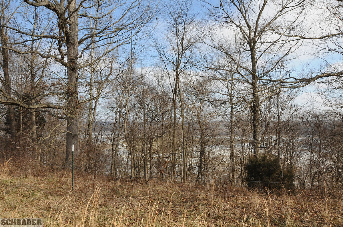
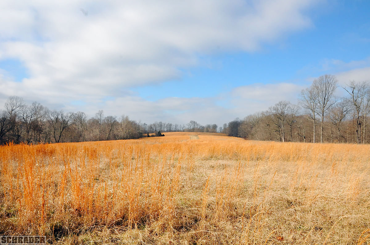
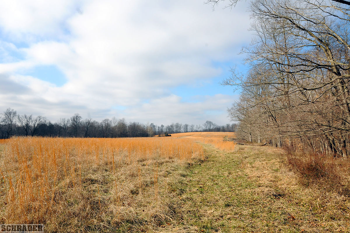
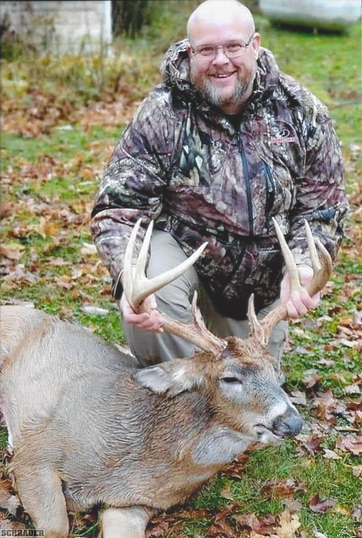
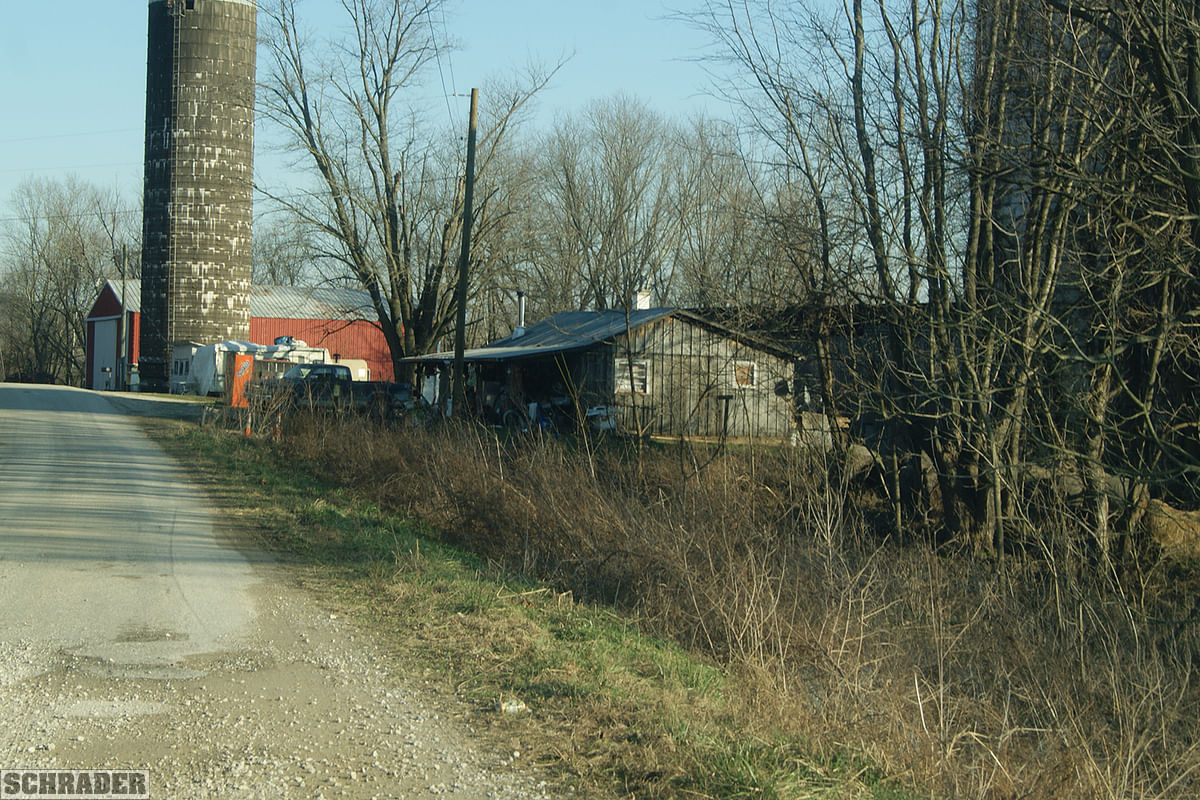
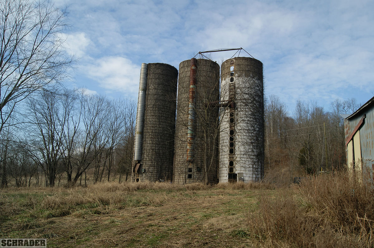
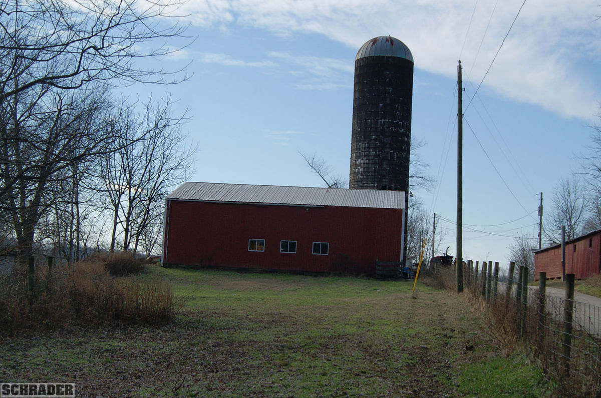
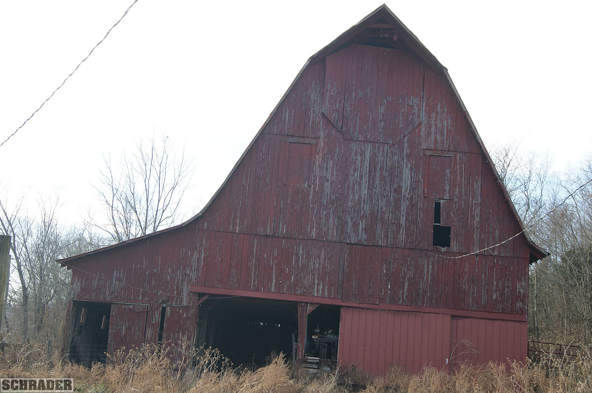
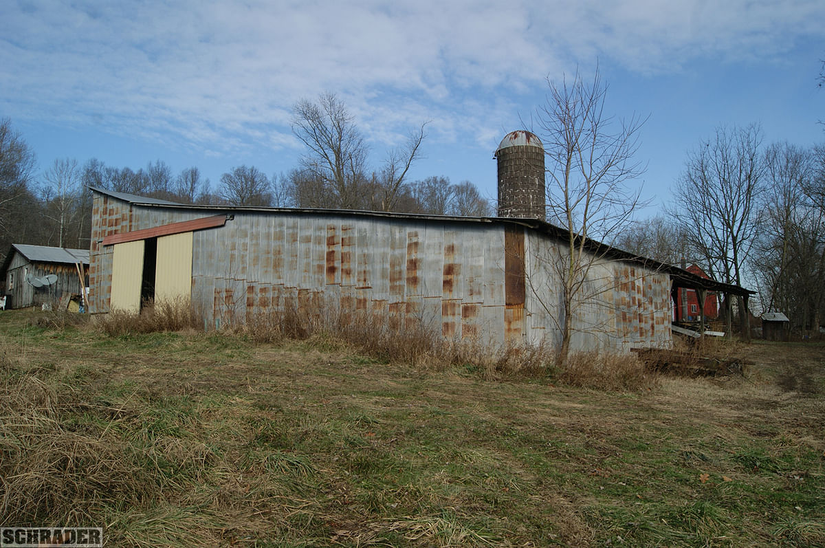
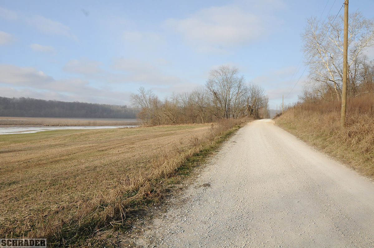
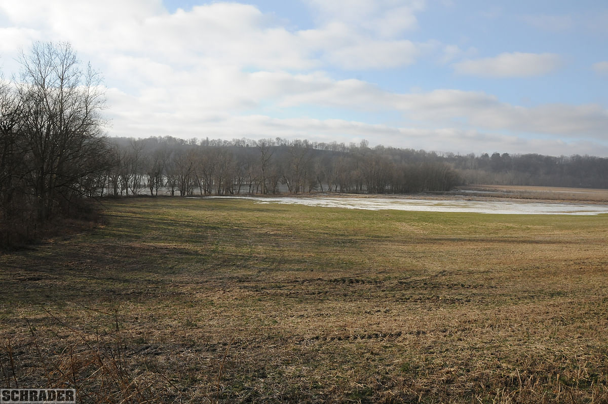
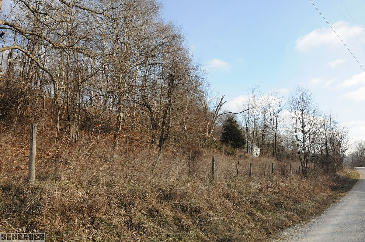
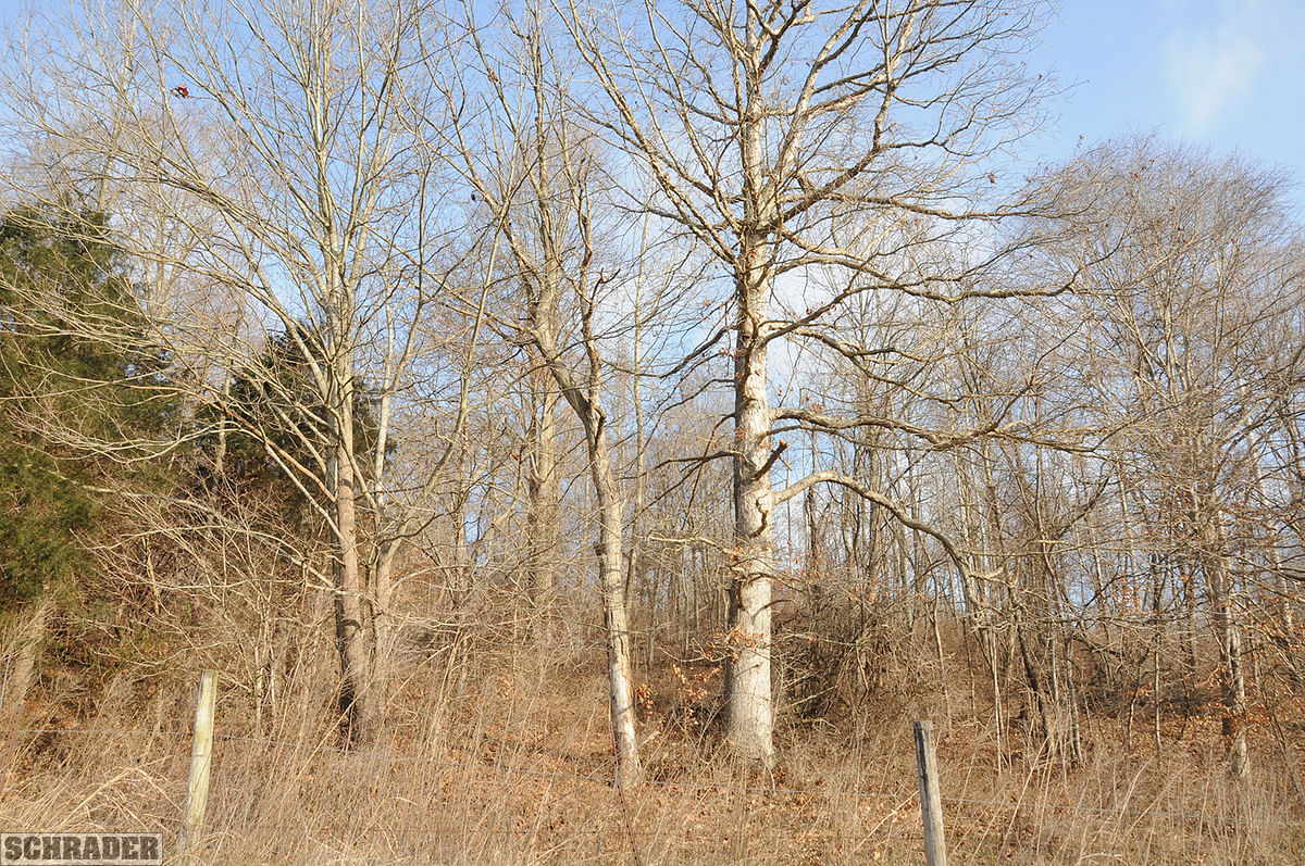
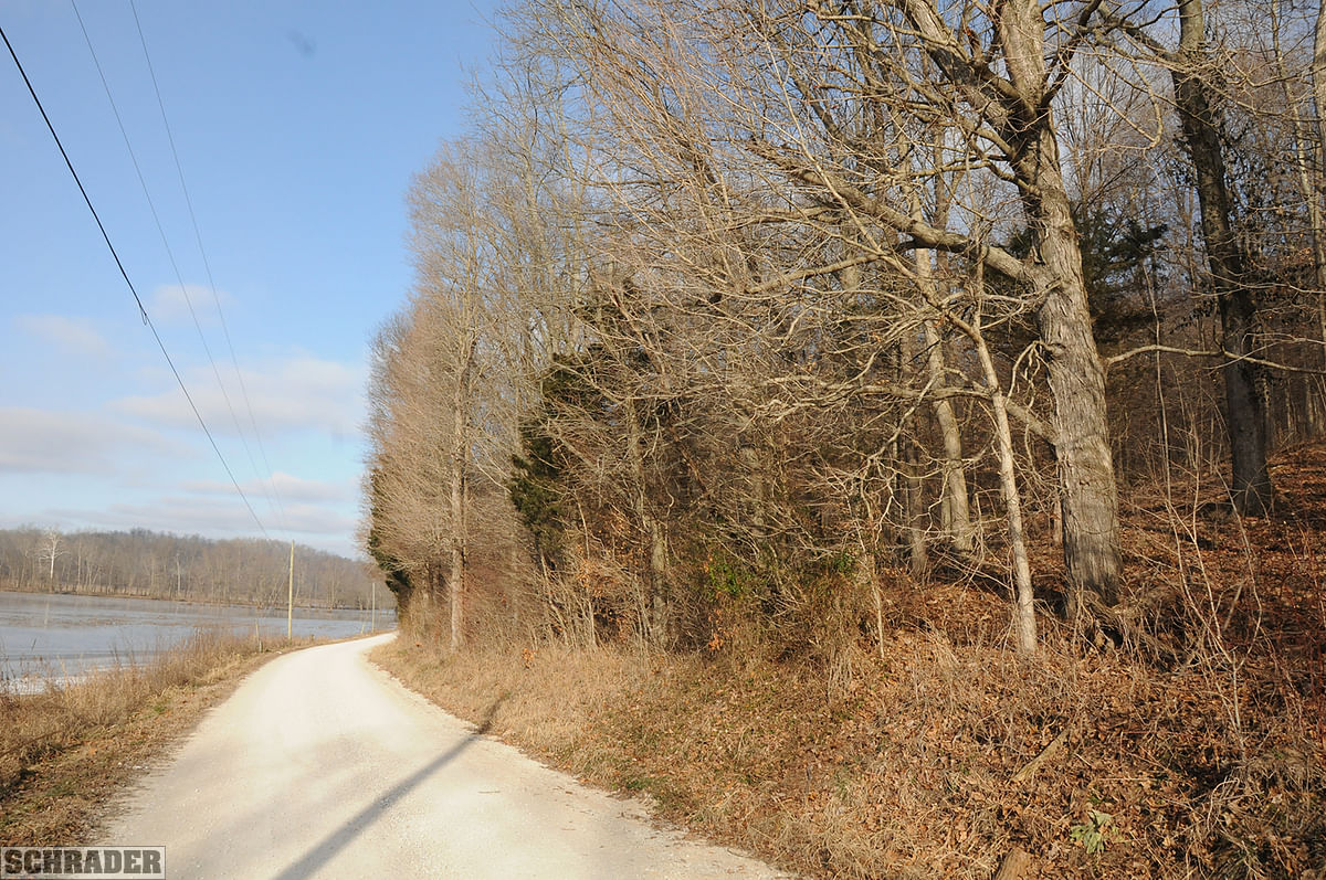
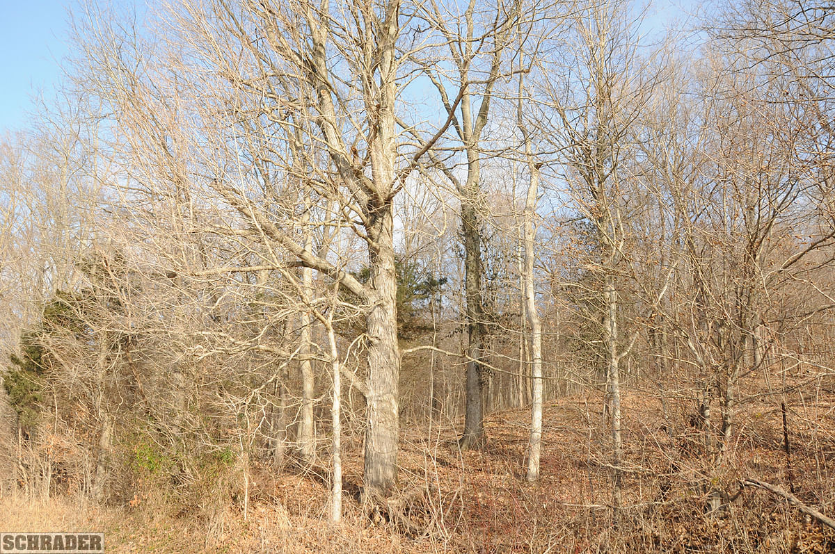
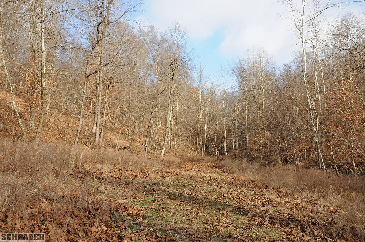
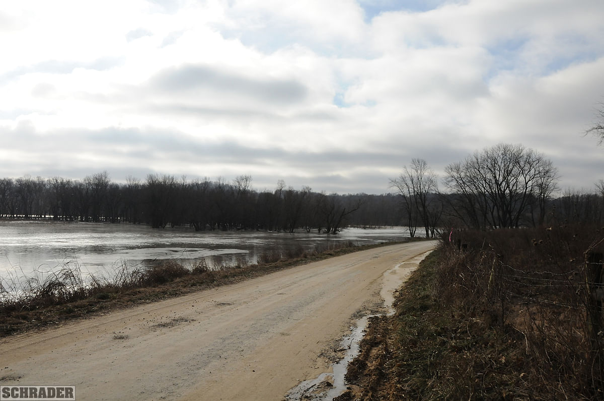
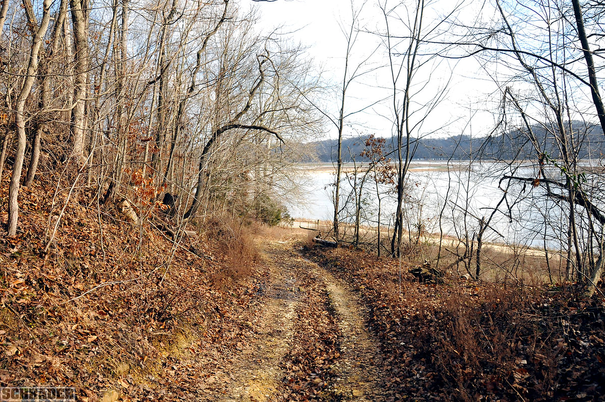
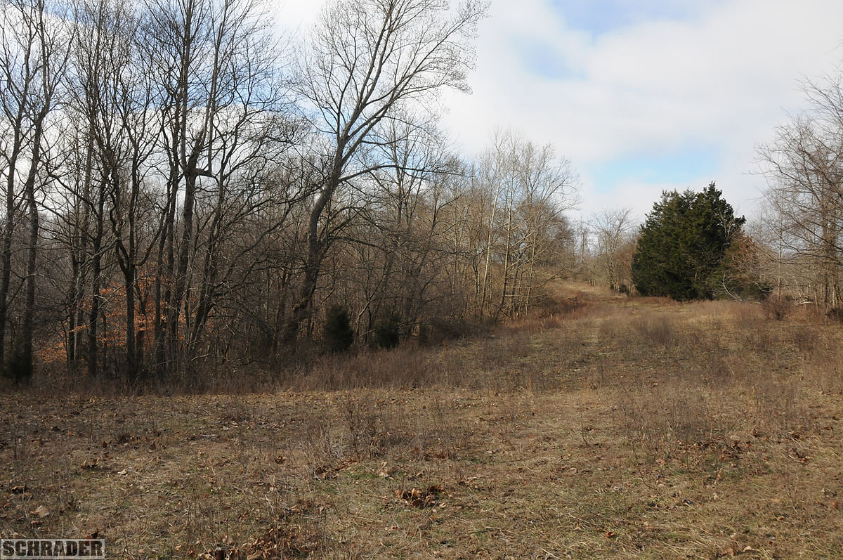
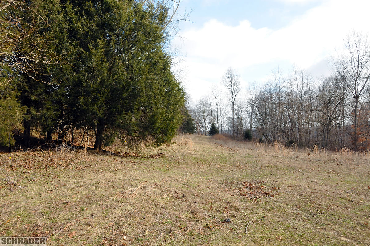
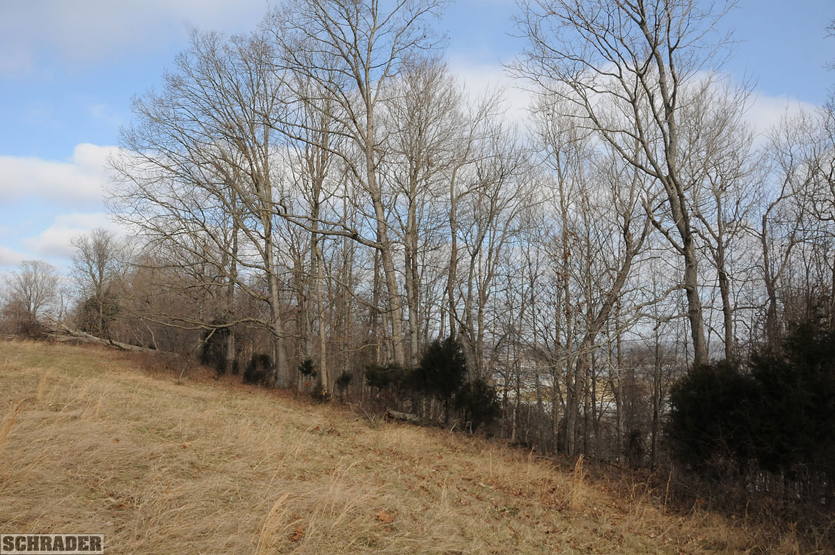
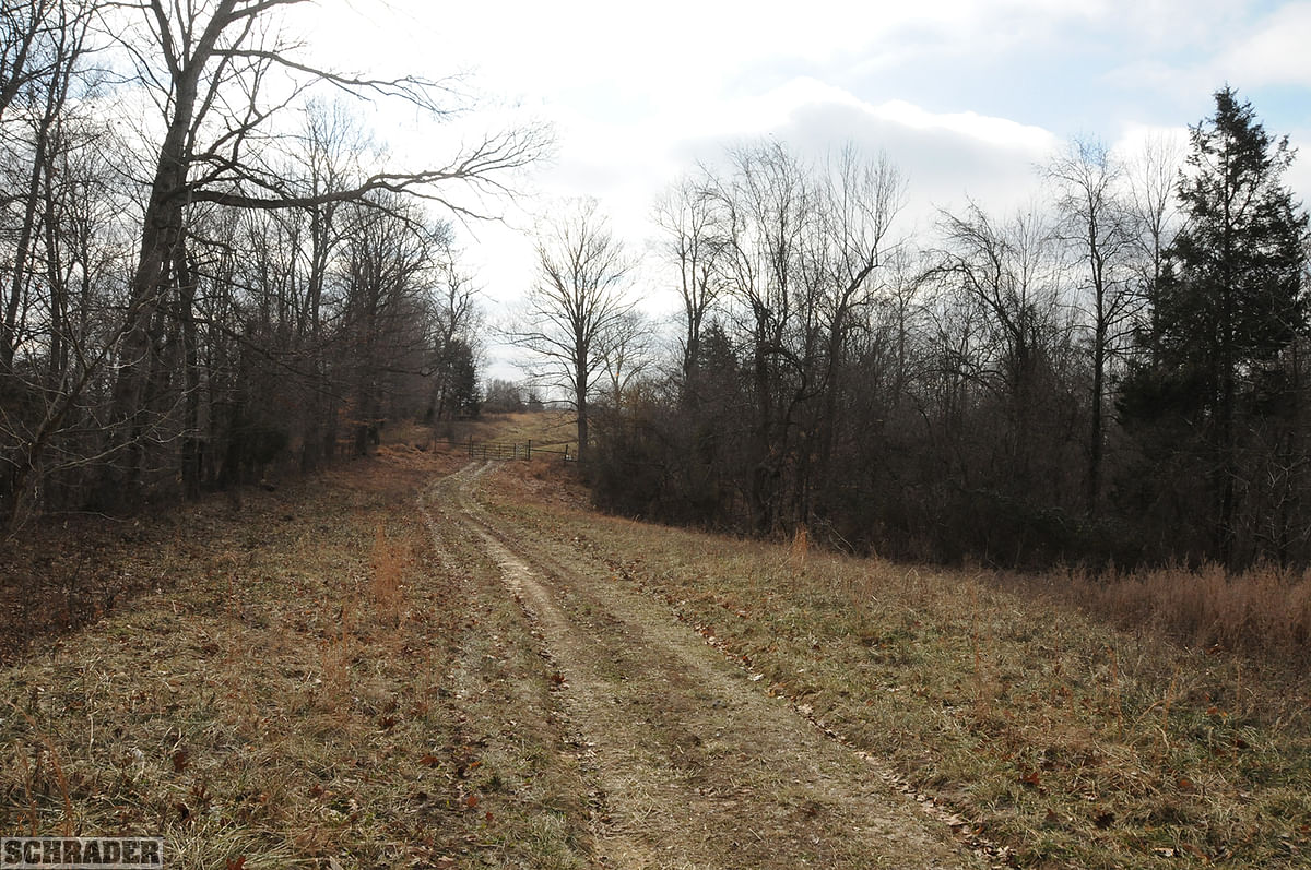
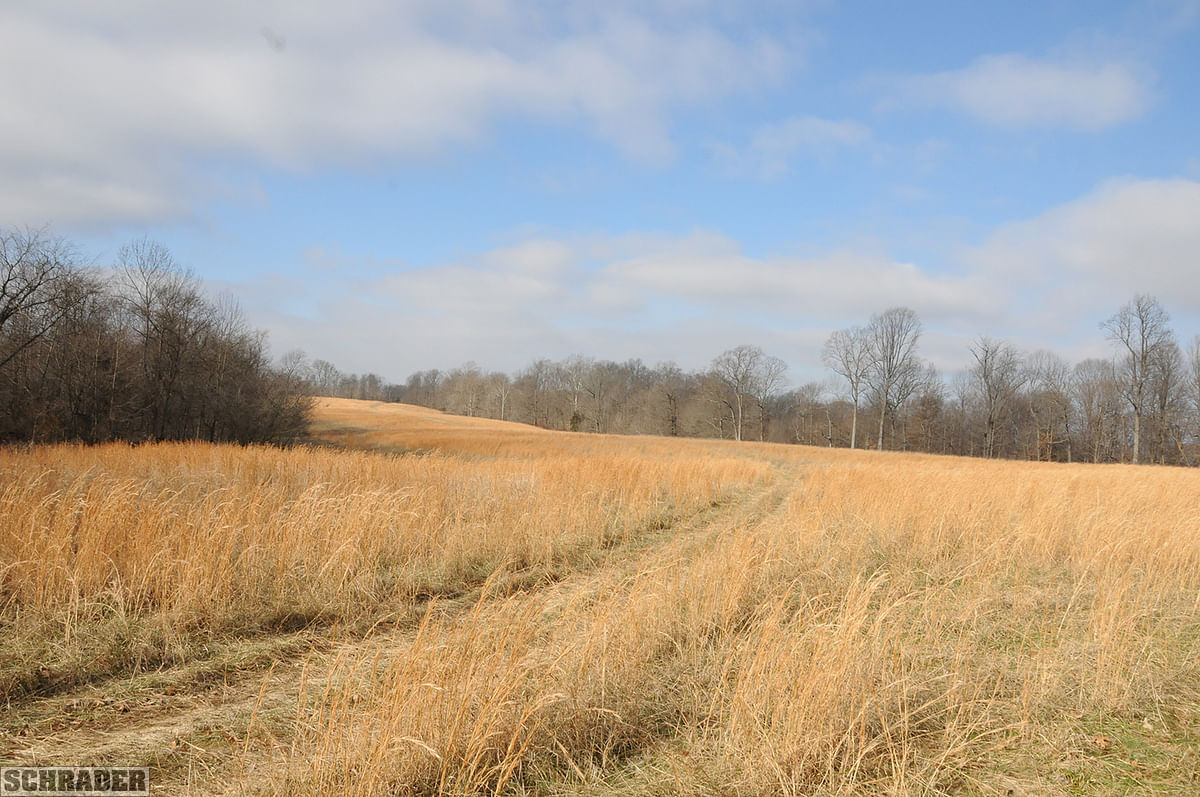
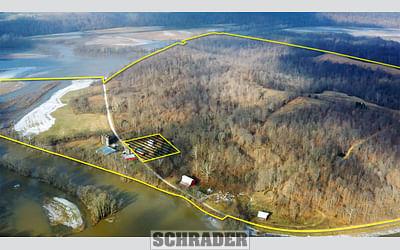
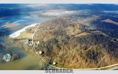
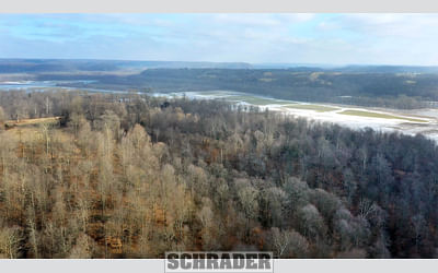
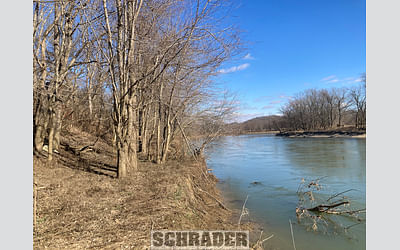
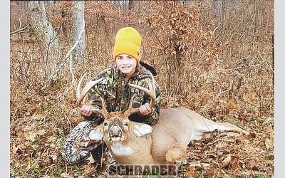
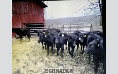
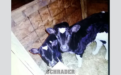
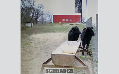
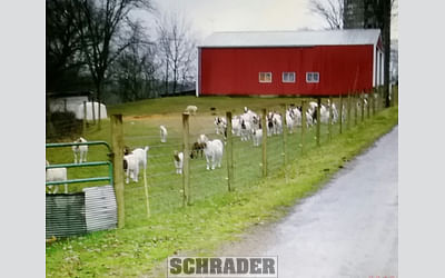
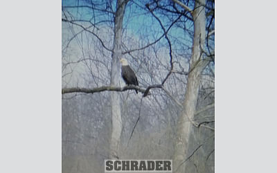
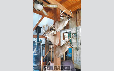
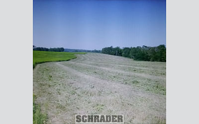
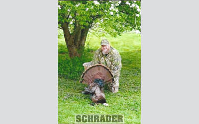
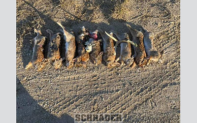
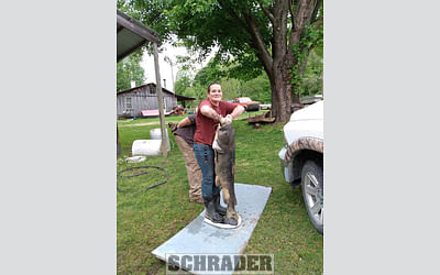
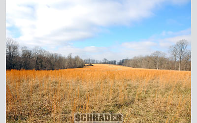
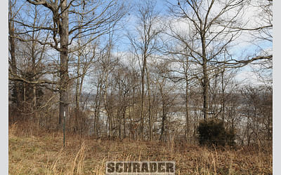
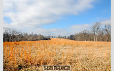
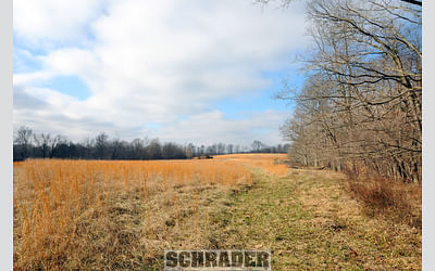
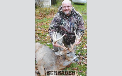
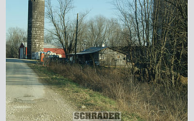
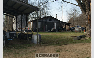
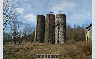
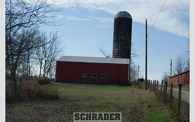
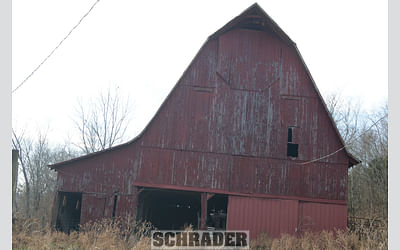
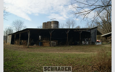
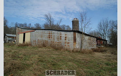
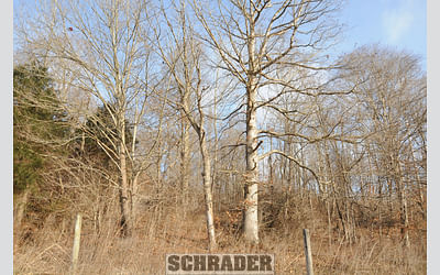
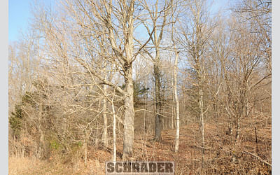
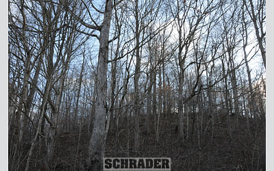
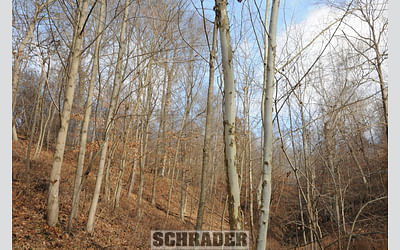
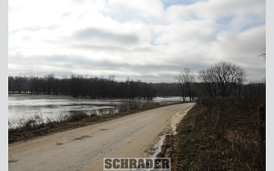
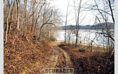
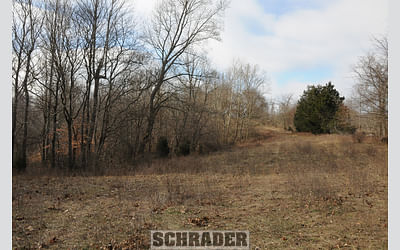
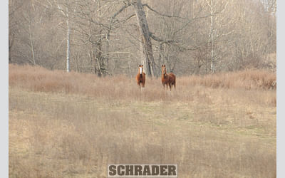
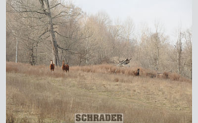
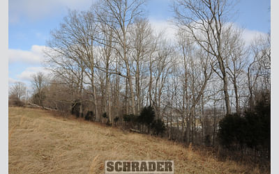
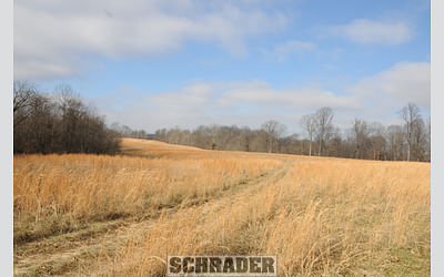
This farm was formerly a cow-calf operation consisting of 200 acres of wooded pasture, half of which was fenced, with 22 acres of open hay and pasture. Additionally, it has 50+/- acres of unfenced productive river bottoms with 22+/- tillable acres. The 20+/- acres remaining have four improvements including a two bedroom hunting cabin currently leased monthly for $200/month, a 40 ft. x60 ft. shop with pole construction and a concrete floor, a 40 ft. x 50 ft. older post and beam barn with a lean-to, as well as a 70 ft. x 100 ft. open storage shed. Since discontinuing the livestock operation after their father ft. s death, the land has been leased out for hunting deer, turkeys, rabbits, squirrels, ducks, raccoons, possums and coyotes. The fishing is quite good with the E Fork of the White River holding the state record for flathead catfish at 80lbs. Several flatheads 25-40lbs. have been caught off the bank with a good population of channel catfish a well. Bass, crappie, river perch and many other species can also be caught here.
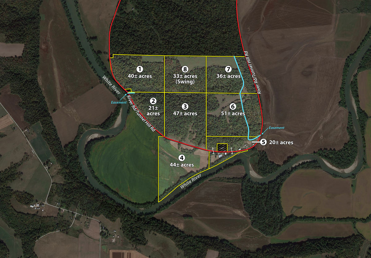
TRACT DESCRIPTIONS
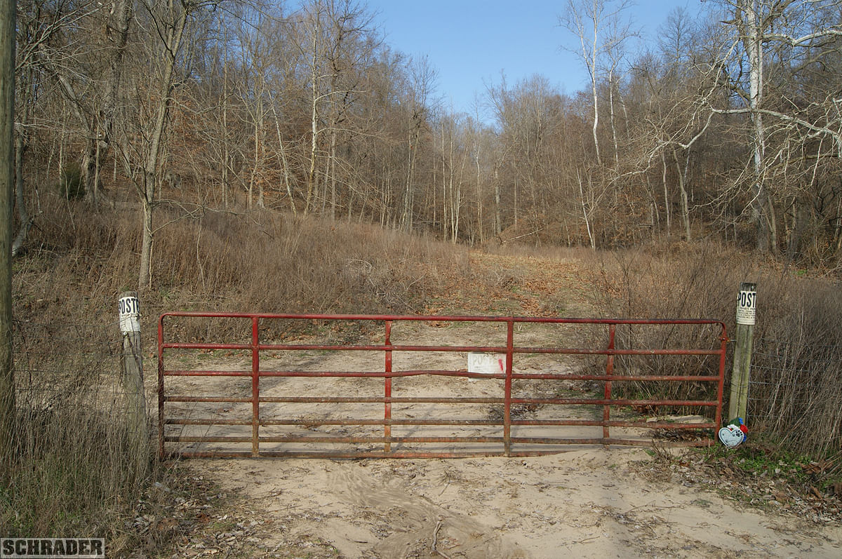
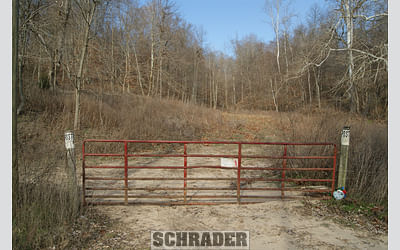
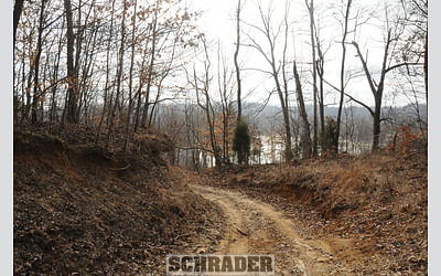
Tract 1: 40± ac All woodland except for three acres of open hay field in the NE corner. It is bounded on its west by River Rd with two cabins excepted on its NW and SW corners. Topography in the woods ranges from 12-75% with the hay field being 2-12%. In the middle of its south boundary is the site where the old homestead stood years ago. Access is by easement at the SW corner.
Tract 2: 21± ac Triangular shaped and fronted by River Rd on the SW. All woods with access on its NW corner. Topography in the woods ranges from 6-75%.
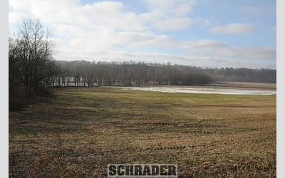
Tract 3: 47± ac Fronted by River Rd on its S boundary. It is considered woods and wooded pasture and has a pond in the NE portion of the Tract. Topography in the woods ranges from 12-75%.
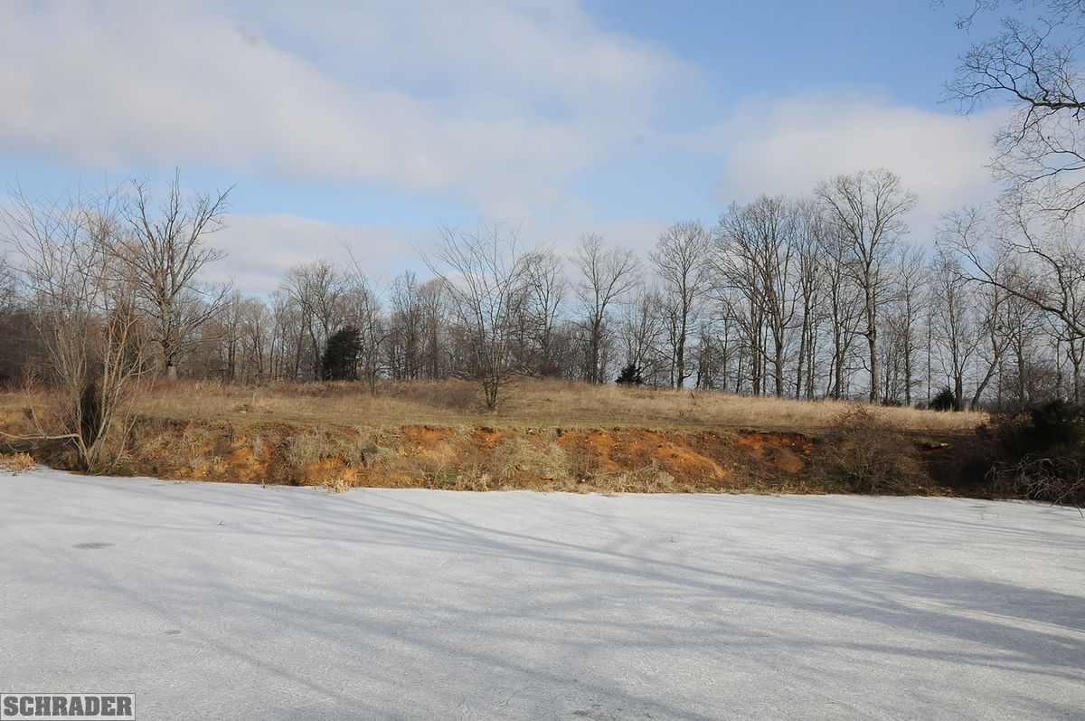
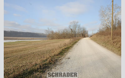
Tract 4: 44± ac River bottom with frontage at the E fork of the White River on its SE boundary and River Rd fronting at N boundary for good access. 22+/- acres is currently being farmed however with proper drainage more of it could potentially be brought into production.
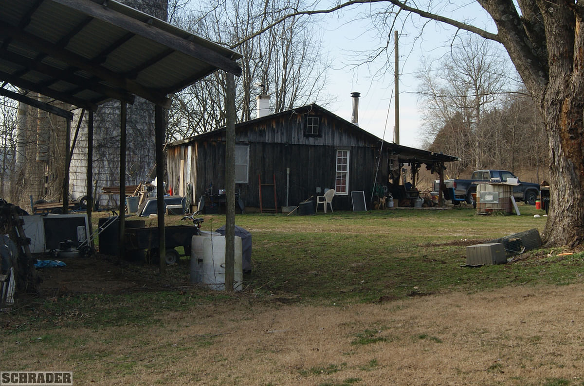
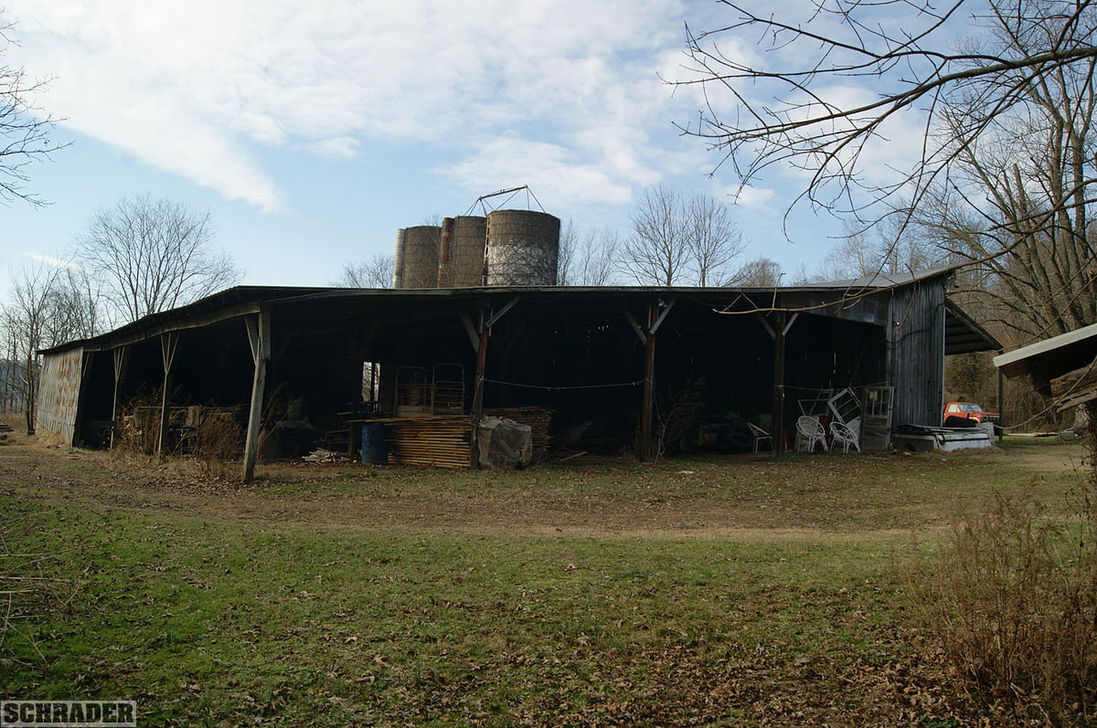
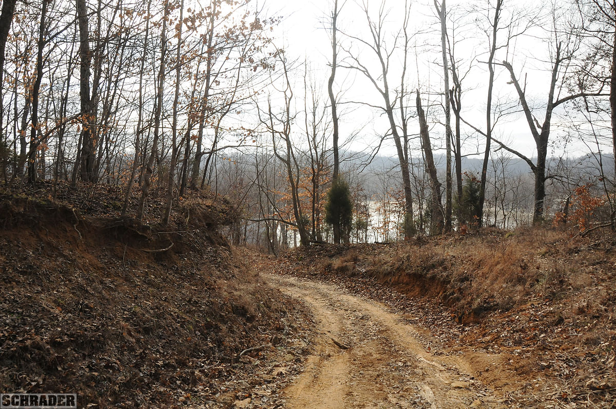
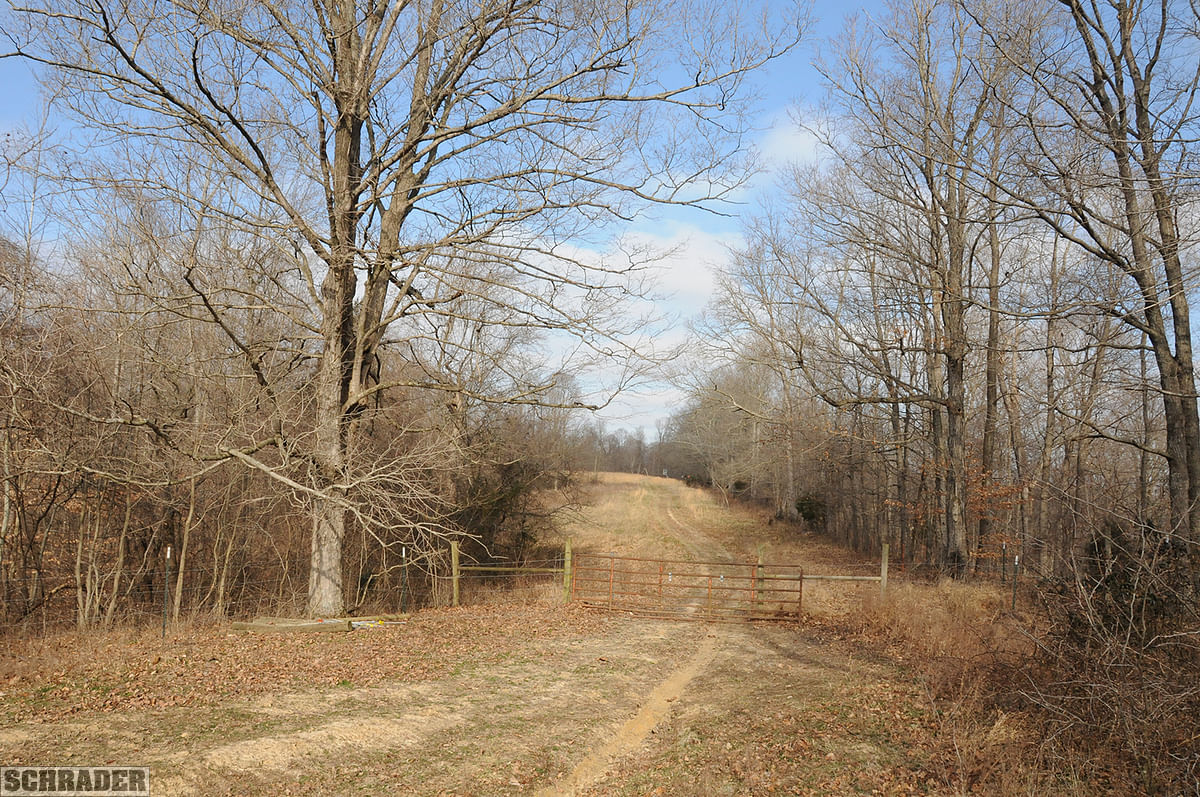
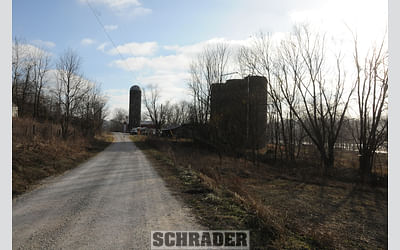
Tract 5: 20± ac Contains all physical improvements including a 2 bedroom hunting cabin. It also has a 100 ft. x70 ft. open storage shed, 40 ft. x 60 ft. shop with pole construction and a concrete floor, a 40 ft. x50 ft. older post and beam barn in good shape with a lean-to. A 43 ft. +/- well which taps the river aquafer services all the improvements. This tract enjoys substantial river frontage along its southeastern boundary. Ample access by River Rd. Topography is gently rolling 12-25% slopes.
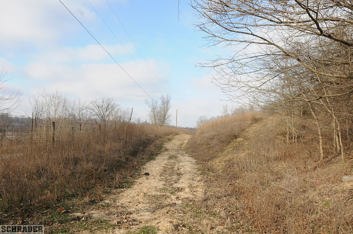
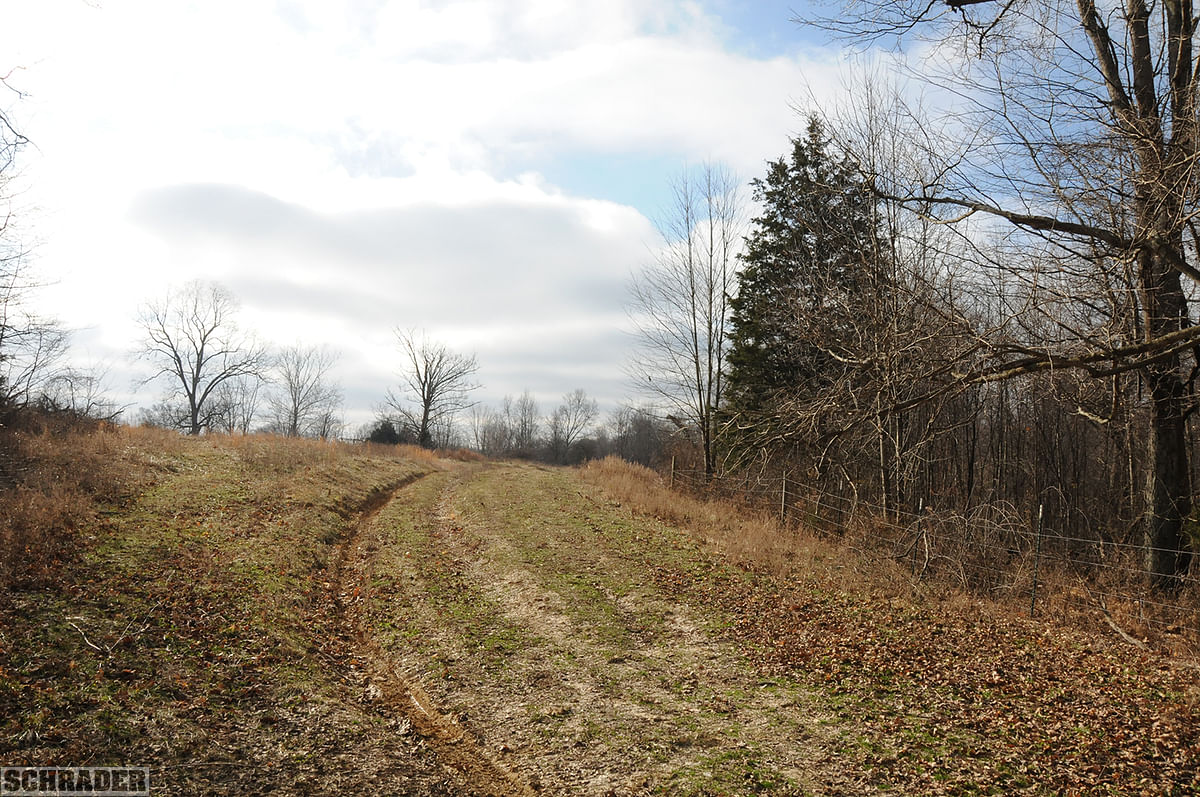
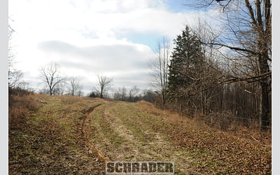
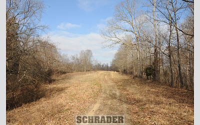
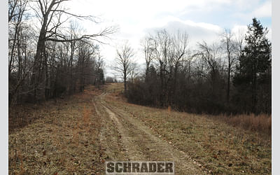
Tract 6: 51± ac 40+/- acres of woodland with 11+/- acres of open pasture traversed on its E quarter by a ROW access road. The tract ft. s access is near its SE corner on River Rd at the S end of the ROW access road. This acreage also has a pond in the NE portion of the open pasture.
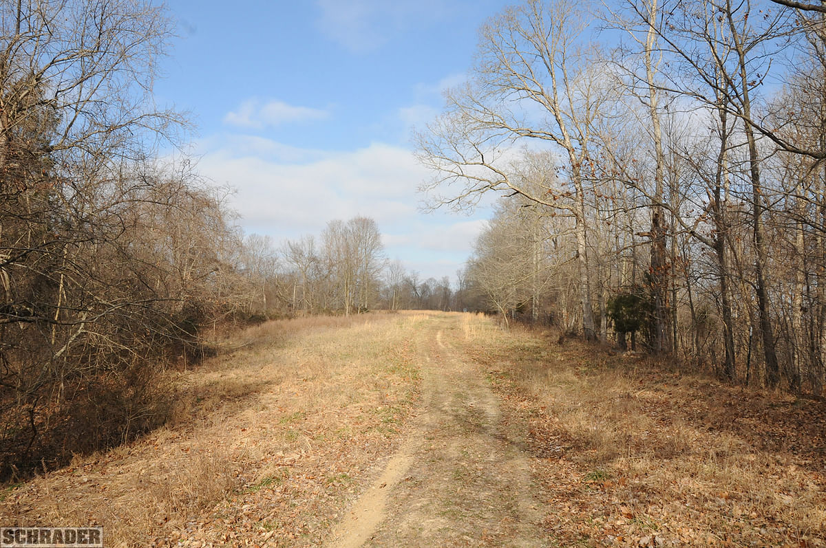
Tract 7: 36± ac 29+/- acres of woods and wooded pasture and 7+/- acres of open hay field. The ROW access road comes up almost straight north bisecting the tract by a quarter on its E side. Topography in the woods ranges from 12-75% with the hay field being 2-12%.
Tract 8: 33± ac (Swing Tract) 24+/- acres of woodland and 9+/- acres of open hay field. Topography in the woods ranges from 12-75% with the hay field being 2-12%. On the NW corner of the hayfield, there is a small pond. This tract is a swing tract to be purchased only by neighbor or in combination w/another tract.
TRACT MAP(S)
AREA MAP(S)
PROCEDURE: The property will be offered in 8 individual tracts, any combination of tracts (subject to swing tract limitations) and as a total 292+/- acre unit. There will be open bidding on all tracts and combinations during the auction as determined by the Auctioneer. Bids on tracts, tract combinations and the total property may compete.
DOWN PAYMENT: 10% down payment on the day of auction for individual tracts or combinations of tracts. The down payment may be made in the form of cashiers check, personal check, or corporate check. YOUR BIDDING IS NOT CONDITIONAL UPON FINANCING, so be sure you have arranged financing, if needed, and are capable of paying cash at closing.
ACCEPTANCE OF BID PRICES: All successful bidders will be required to enter into Purchase Agreements at the auction site immediately following the close of the auction. All final bid prices are subject to the Sellers acceptance or rejection.
EVIDENCE OF TITLE: Seller shall provide an owners title insurance policy in the amount of the purchase price.
DEED: Seller shall provide Warranty Deed(s).
CLOSING: The balance of the real estate purchase price is due at closing, which will take place approximately 30 days after the auction.
POSSESSION: Possession is at closing on bare land tracts. Possession on improvements 30 days after closing.
REAL ESTATE TAXES: Real estate taxes will be prorated to the date of closing.
TILLABLE ACRES: the tillable acres have been estimated based on the FSA field maps provided by the USDA. For purposes of the brochure acres have been rounded and in some cases estimated (where field boundaries dont match up with auction tracts). Actual FSA field maps are available in the Information Booklet available on the auction website.
PROPERTY INSPECTION: Each potential Bidder is responsible for conducting, at their own risk, their own independent inspections, investigations, inquiries and due diligence concerning the property. Inspection dates have been scheduled and will be staffed with auction personnel. Further, Seller disclaims any and all responsibility for Bidders safety during any physical inspection of the property. No party shall be deemed an invitee of the property by virtue of the offering of the property for sale.
ACREAGE: All tract acreages, dimensions, and proposed boundaries are approximate and have been estimated based on current legal descriptions and/or aerial photos.
SURVEY: The Seller shall provide a new survey where there is no existing legal description or where new boundaries are created by the tract divisions in this auction. Any need for a new survey shall be determined solely by the Seller. Seller and successful bidder shall each pay half (50:50) of the cost of the survey. The type of survey performed shall be at the Sellers option and sufficient for providing title insurance. Combination purchases will receive a perimeter survey only.
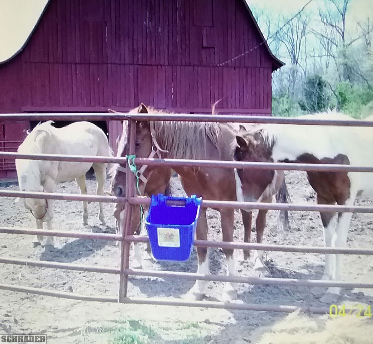
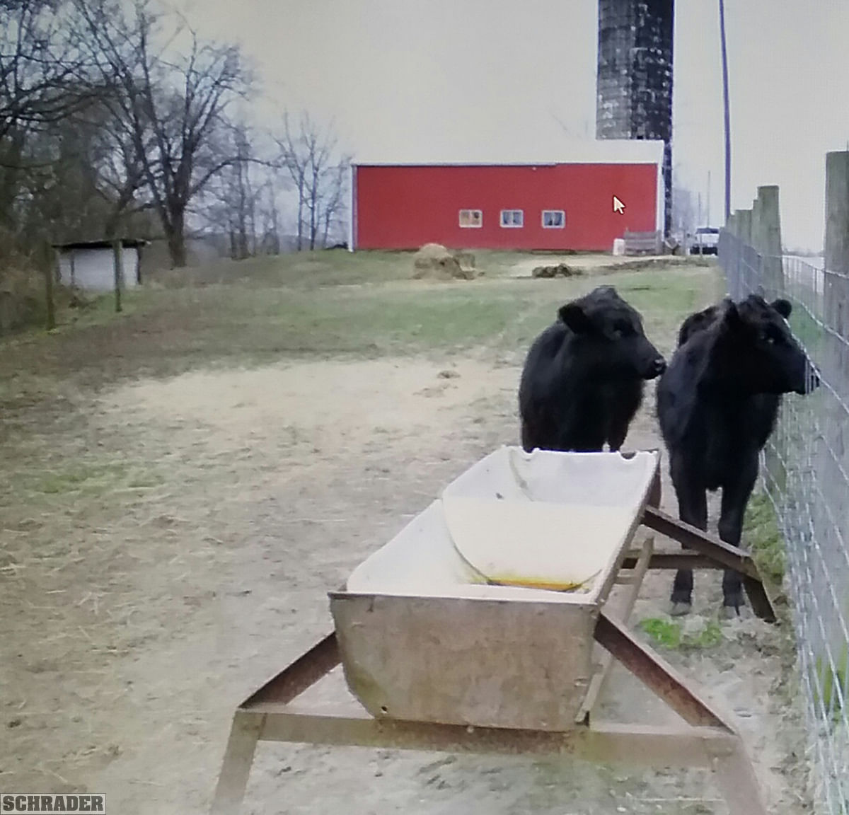
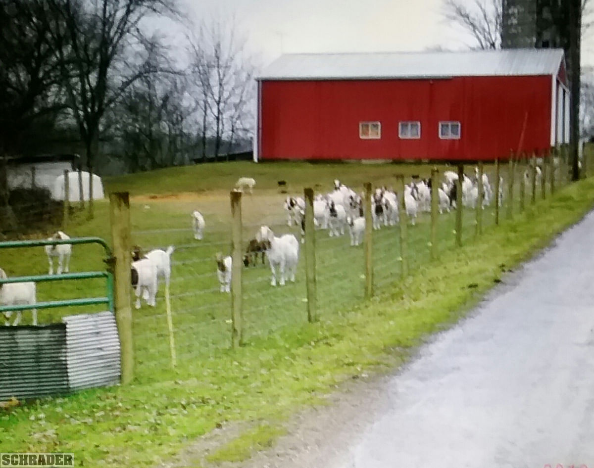
STOCK PHOTOGRAPHY: Some photos are for illustrative purposes only and were not taken on the auction property.
AGENCY: Schrader Real Estate and Auction Company, Inc. and its representatives are exclusive agents of the Seller.
DISCLAIMER AND ABSENCE OF WARRANTIES: All information contained in this brochure and all related materials are subject to the terms and conditions outlined in the Purchase Agreement. The property is being sold on an AS IS, WHERE IS basis, and no warranty or representation, either expressed or implied, concerning the property is made by the Seller or the Auction Company. All sketches and dimensions in the brochure are approximate. Each potential bidder is responsible for conducting his or her own independent inspections, investigations, inquiries, and due diligence concerning the property. The information contained in this brochure is subject to verification by all parties relying on it. No liability for its accuracy, errors, or omissions is assumed by the Seller or the Auction Company. Conduct of the auction and increments of bidding are at the direction and discretion of the Auctioneer. The Seller and Selling Agents reserve the right to preclude any person from bidding if there is any question as to the persons credentials, fitness, etc. All decisions of the Auctioneer are final. ANY ANNOUNCEMENTS MADE THE DAY OF THE SALE TAKE PRECEDENCE OVER PRINTED MATERIAL OR ANY OTHER ORAL STATEMENTS MADE.