


• 640+/- Acres & Producing Minerals offered in 8 Tracts • 4 Farms Total • Owners Mineral interest under each parcel • Actively producing oil/gas wells present through out the properties • 10-13 miles north of Elkhart, Kansas, near Hwy 27

REAL ESTATE & MINERAL AUCTION - 640+/- ACRES & PRODUCING MINERALS OFFERED IN 8 TRACTS IN MORTON COUNTY, KANSAS
Morton County, Kansas
Owner: Douglas B. Hull Trust Thu, Mar 3, 2016 EASTERNAUCTION IS OVER
OPEN HOUSE/INSPECTION DATES
February 4th and 25th from 2-4 PM
Meet a Schrader representative at the Morton County Civic Center Conference room to get detailed information about the farms, minerals and auction process.
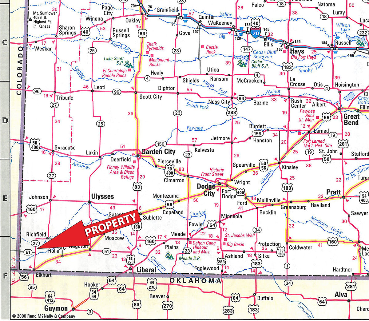
PROPERTY LOCATION
From Elkhart, KS take state highway 27 north for approximately 10 miles and you will begin to see auction signs.
AUCTION LOCATION
Morton County Civic Center, located at 400 Orchard St, Elkhart, KS 67950
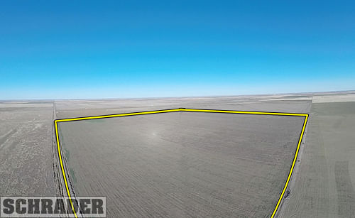
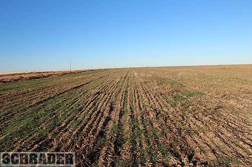
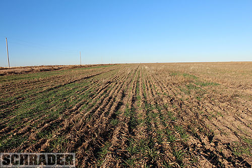
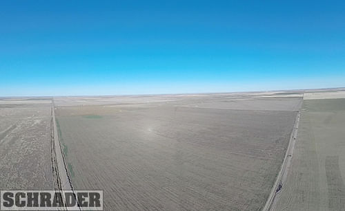
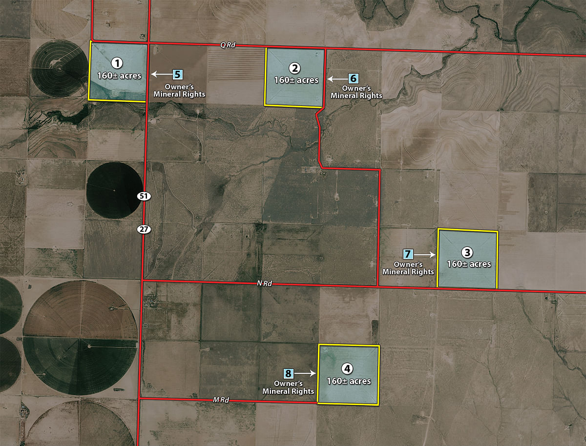
TRACT DESCRIPTIONS
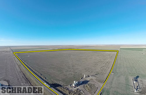
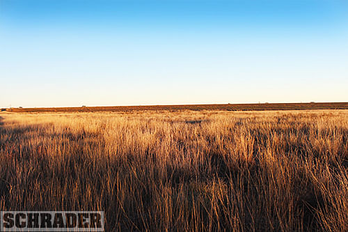
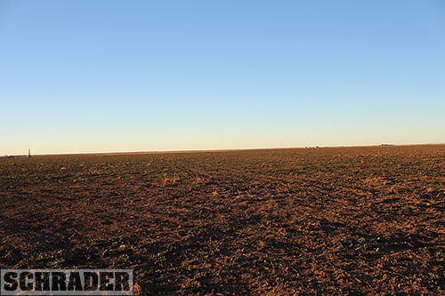
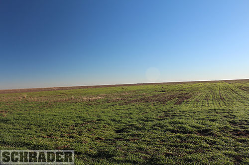
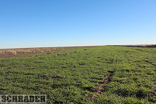
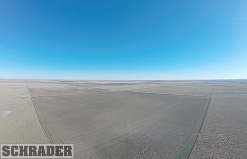
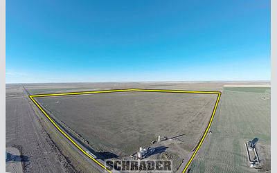
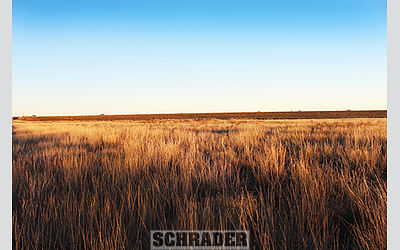
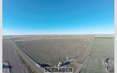
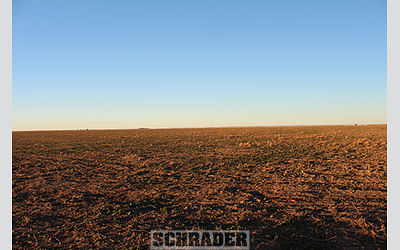
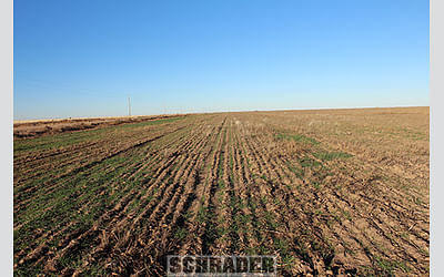
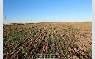
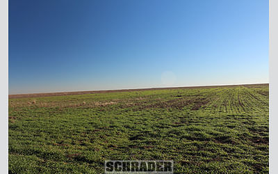
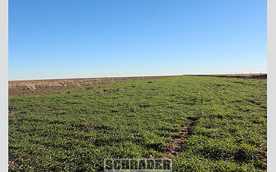
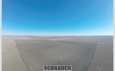
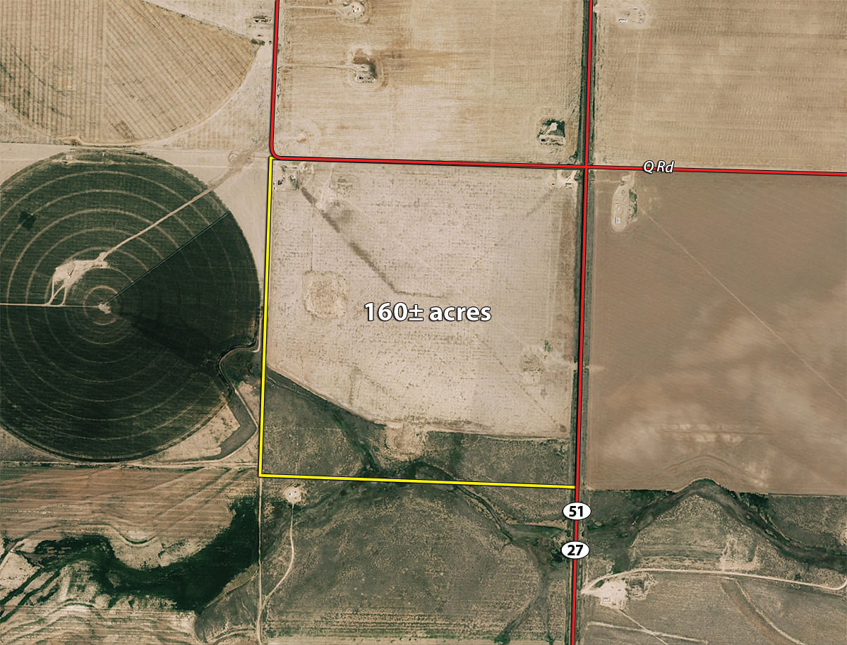
Tract 1: 160± ac surface acres located at the intersection of Hwy 27 and Q Road. Level topography, highway frontage and primarily Wagonbed Silty Clay Loam soils.
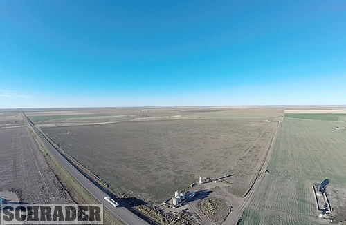
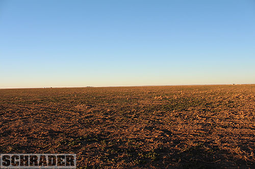
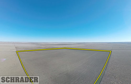
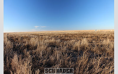
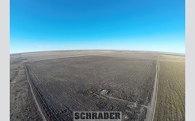
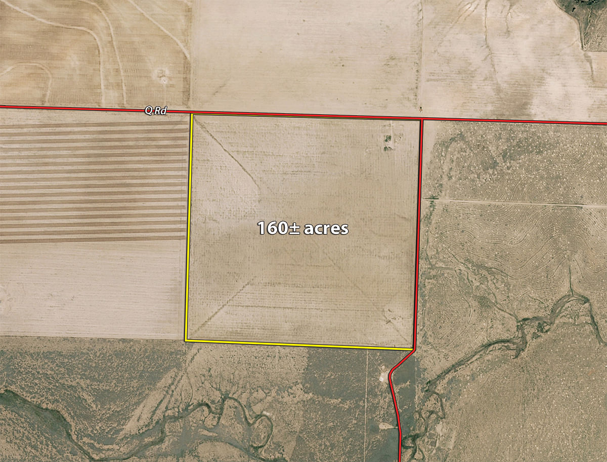
Tract 2: 160± ac surface acres located one mile east of Hwy 27 along Q Road. Level topography, easy access to the highway and Wagonbed Silty Clay Loam soils.
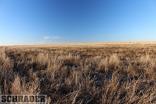
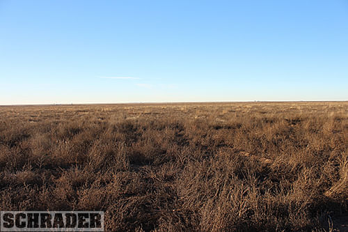
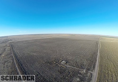
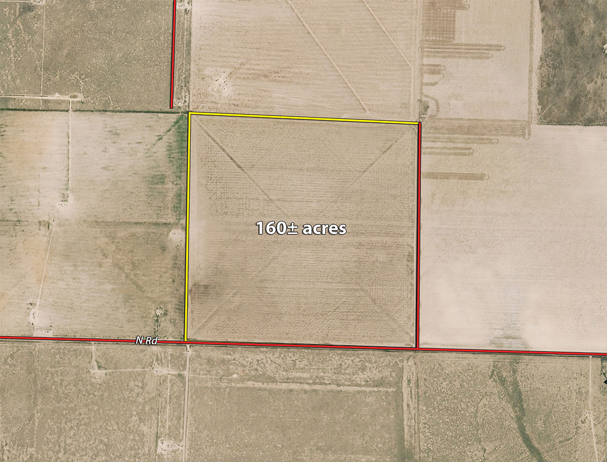
Tract 3: 160± ac surface acres located 2.5 miles east of Hwy 27 along N Road. Good access and approximately 81% Ulyssess Silt Loam soils.
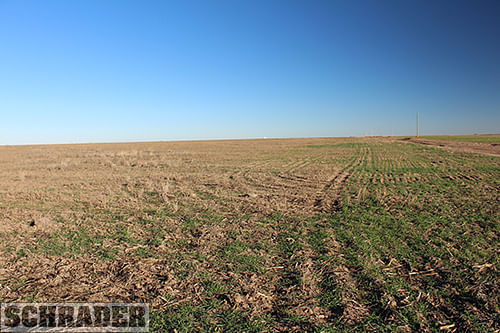
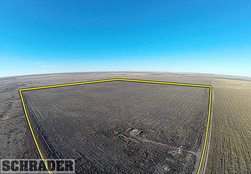
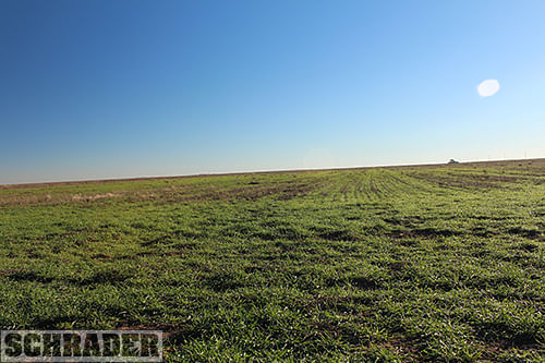
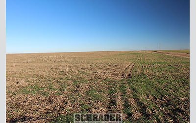
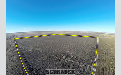
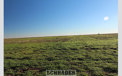
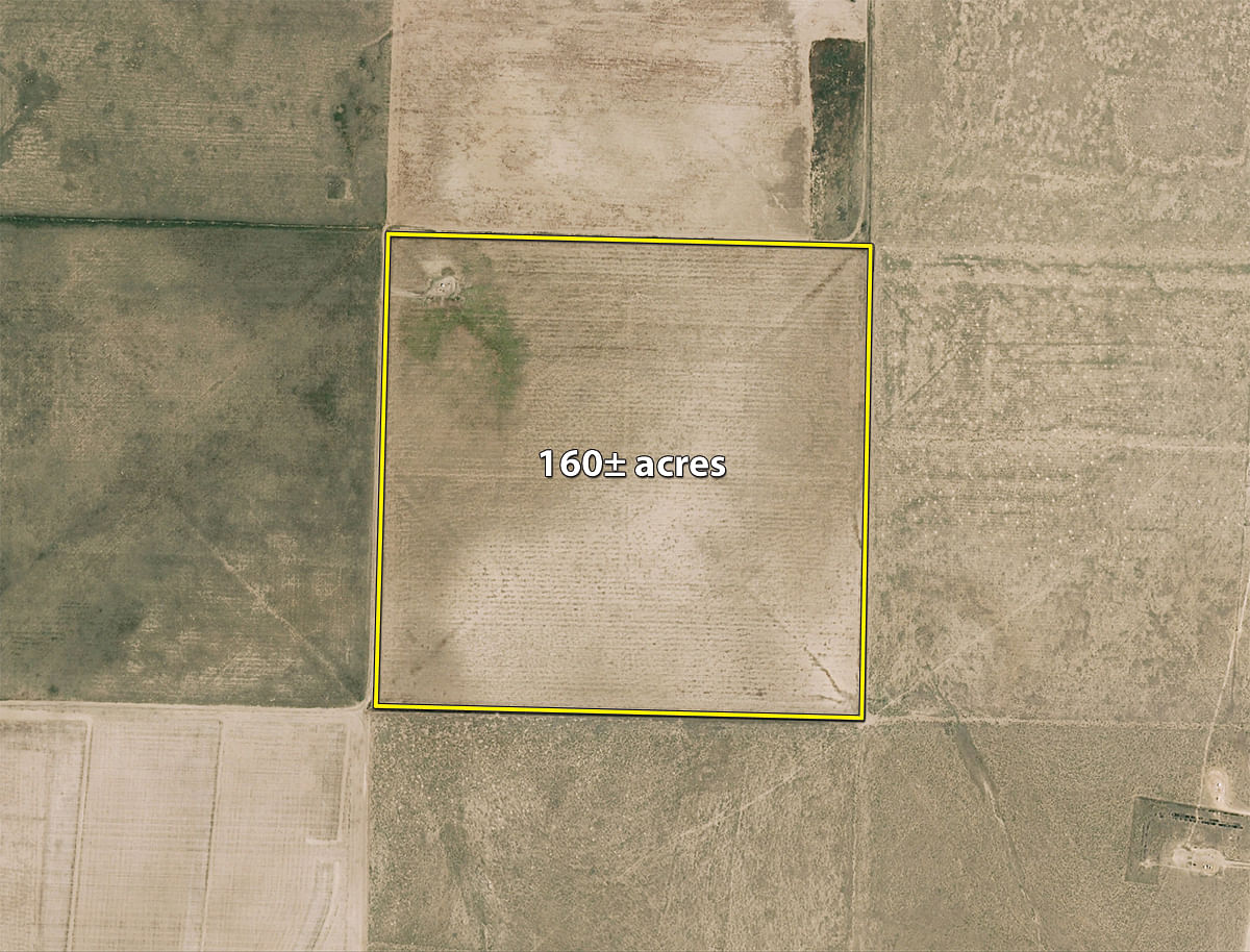
Tract 4: 160± ac surface acres located 1.5 miles east of Hwy 27 along M Road. Farm has easy access from the highway and is approximately 60% Ulyssess Silt Loam soils.
Tract 5: All interest currently held by Owner with respect to the minerals on and under the NE/4 of Section 8, Township 33 South, Range 42 West, Morton County, KS and all rights appurtenant to such interest.
Tract 6: All interest currently held by Owner with respect to the minerals on and under the NW/4 of Section 10, Township 33 South, Range 42 West, Morton County, KS and all rights appurtenant to such interest.
Tract 7: All interest currently held by Owner with respect to the minerals on and under the SE/4 of Section 14, Township 33 South, Range 42 West, Morton County, KS and all rights appurtenant to such interest.
Tract 8: All interest currently held by Owner with respect to the minerals on and under the SE/4 of Section 22, Township 33 South, Range 42 West, Morton County, KS and all rights appurtenant to such interest.
AREA MAP
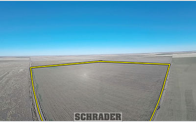
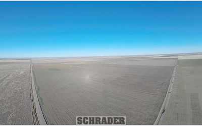
TRACT MAP(S)
TRACTS 1-4
TRACT 1
TRACT 2
TRACT 3
TRACT 4
SOIL INFORMATION
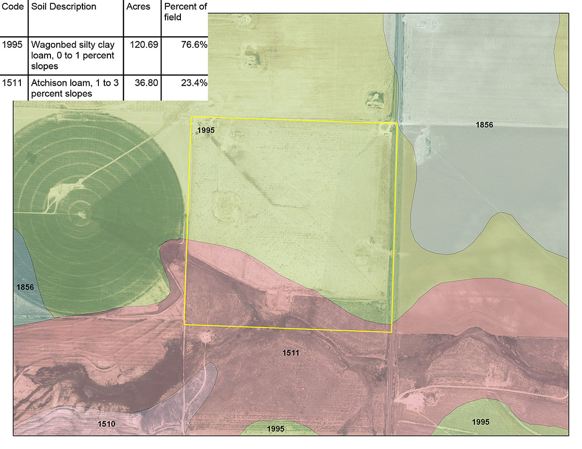
TRACT 1
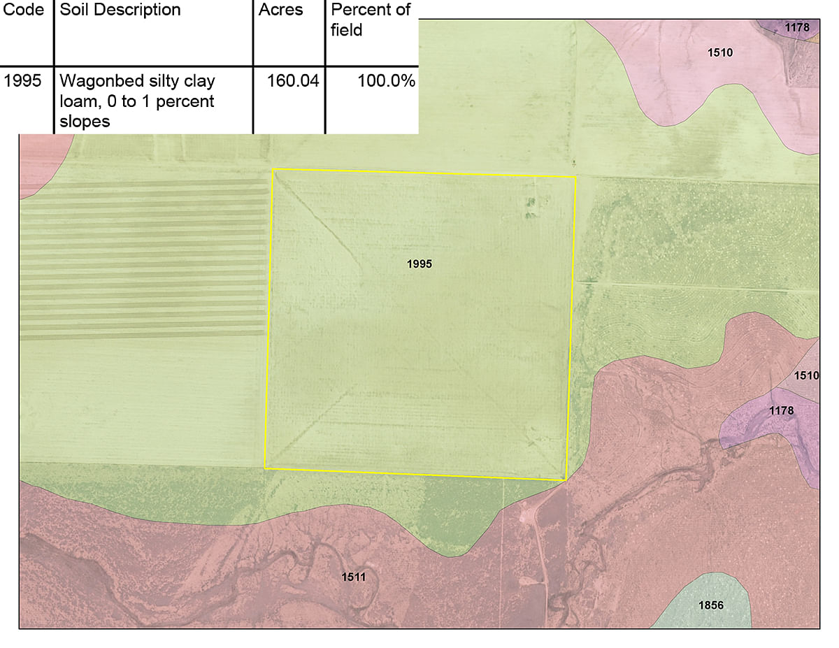
TRACT 2
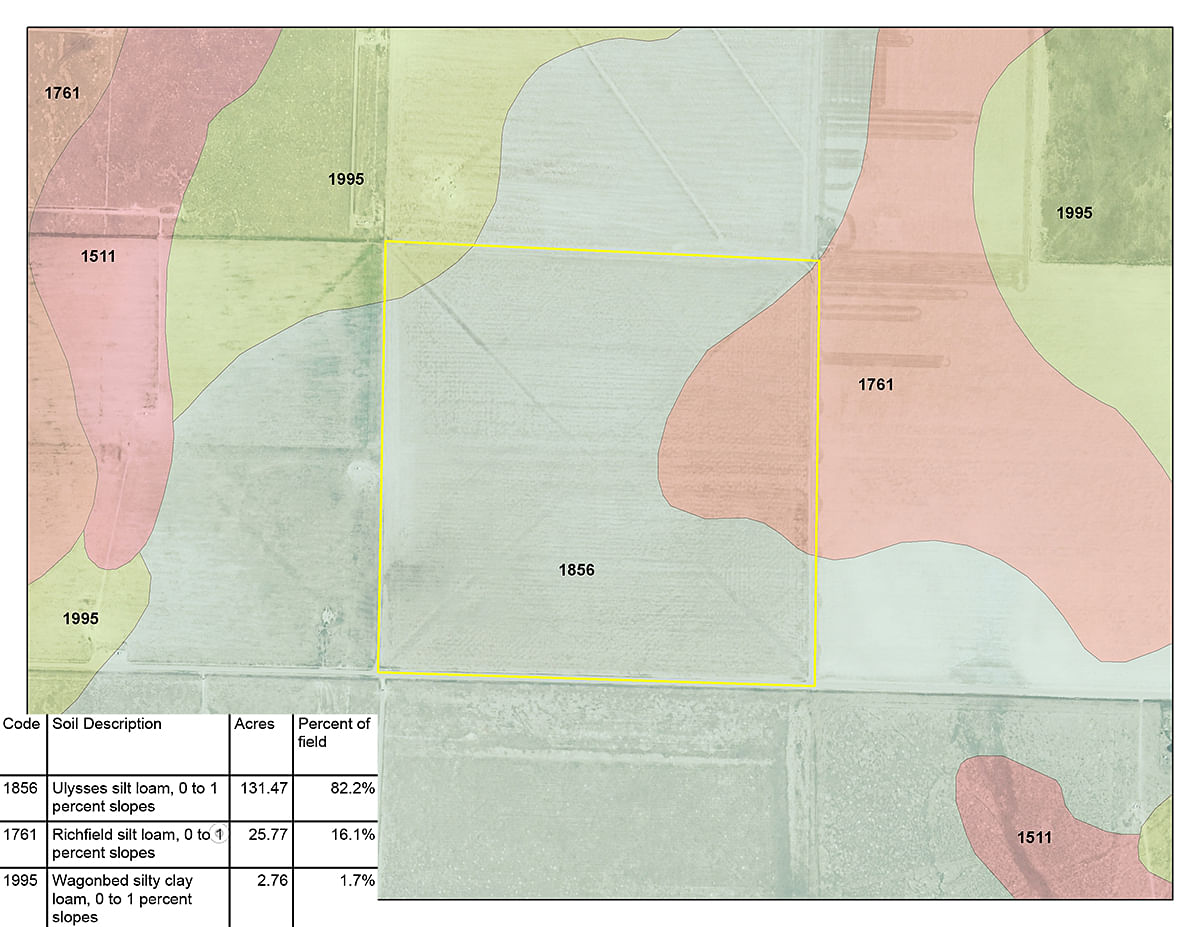
TRACT 3
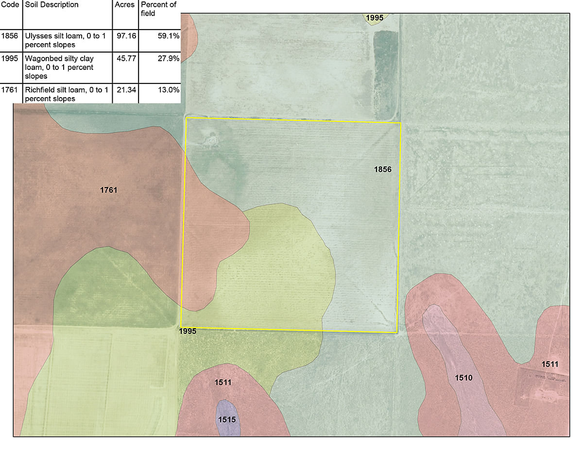
TRACT 4
AREA MAP(S)
PROCEDURE: Tracts 1 through 8 will be offered in individual tracts, in any combination of these tracts, or as a total unit per auction date and time. There will be open bidding on all tracts and combinations during the auctions as determined by the Auctioneer. Bids on tracts, tract combinations and the total property may compete. The property will be sold in the manner resulting in the highest total sale price.
BUYERS PREMIUM: The contract purchase price will include a Buyers Premium equal to 4% of the bid amount.
DOWN PAYMENT: 10% of the total contract purchase price will be due as a down payment on the day of auction, with the balance due in cash at closing. The down payment may be made in the form of cashiers check, personal check, or corporate check. YOUR BIDDING IS NOT CONDITIONAL UPON FINANCING, SO BE SURE YOU HAVE ARRANGED FINANCING, IF NEEDED, AND ARE CAPABLE OF PAYING CASH AT CLOSING.
APPROVAL OF BID PRICES: All successful bidders will be required to enter into purchase agreements at the auction site immediately following the close of the auction. The auction bids are subject to the acceptance or rejection by the Seller.
DEED: Seller shall be obligated only to convey a merchantable title by TRUSTEES DEED without warranty.
EVIDENCE OF TITLE: Seller agrees to make available to bidder a preliminary title insurance commitment to review prior to auction. The cost of title insurance, if the buyer(s) elects to purchase the title insurance policy, will be the responsibility of the buyer(s). Seller agrees to provide merchantable title to the property subject to matters of record, general conditions of title, and similar related matters. All tracts sold AS-IS.
CLOSING: The closing shall take place 45 days after the auction or as soon thereafter as applicable closing documents are completed by Seller.
POSSESSION: Possession of the land shall be at closing or soon after wheat crop is harvested in 2016
REAL ESTATE TAXES: Real Estate taxes shall be prorated to the date of closing.
MINERALS: Auction tracts 4 through 8 will include all interests currently held by Owner with respect to the minerals on and under said tracts and all rights appurtenant to such interests.
SURVEY: The Seller shall provide a new survey where there is no existing legal description or where new boundaries are created by the tract divisions in this auction. Any need for a new survey shall be determined solely by the Seller. Seller and successful bidder shall each pay half (50:50) of the cost of the survey. The type of survey performed shall be at the Sellers option and sufficient for providing title insurance. Closing prices shall be adjusted to reflect any difference between advertised and surveyed acres, if a new survey is determined to be necessary by the Seller.
ACREAGE AND TRACTS: All acreages are approximate and have been estimated based on current legal descriptions and/or aerial photos. Any corrections, additions, or deletions will be made known prior to the auction.
AGENCY: Schrader Real Estate and Auction Company, Inc. and their representatives are exclusive agents of the Seller.
DISCLAIMER AND ABSENCE OF WARRANTIES: All information contained in this brochure and all related materials are subject to the terms and conditions outlined in the Purchase Agreement. The property is being sold on an AS IS, WHERE IS basis, and no warranty or representation, either expressed or implied, concerning the property is made by the Seller or the Auction Company. All sketches and dimensions in the brochure are approximate. Each potential bidder is responsible for conducting his or her own independent inspections, investigations, inquiries, and due diligence concerning the property. The information contained in this brochure is subject to verification by all parties relying on it. No liability for its accuracy, errors, or omissions is assumed by the Seller or the Auction Company. Conduct of the auction and increments of bidding are at the direction and discretion of the Auctioneer. The Seller and Selling Agents reserve the right to preclude any person from bidding if there is any question as to the persons credentials, fitness, etc. All decisions of the Auctioneer are final. ANY ANNOUNCEMENTS MADE THE DAY OF THE SALE TAKE PRECEDENCE OVER PRINTED MATERIAL OR ANY OTHER ORAL STATEMENTS MADE. NEW DATE, CORRECTIONS AND CHANGES: Please arrive prior to scheduled auction time to inspect any changes or additions to the property information.